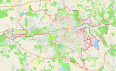
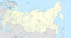
Smoleńsk (stacja kolejowa)
 | |
| Państwo | |
|---|---|
| Obwód | |
| Miejscowość | |
| Dane techniczne | |
| Liczba peronów | 4 |
| Liczba krawędzi peronowych | 6 |
| Kasy | czynne |
| Portal | |
Smoleńsk – stacja kolejowa w Smoleńsku, w obwodzie smoleńskim, w Rosji. Znajdują się tu 4 perony.
Bibliografia
| Smoleńsk | ||
| Linia Wiaźma – Smoleńsk – Krasnoje (418,600 km) | ||
odległość: 1,6 km | odległość: 7,4 km | |
| Linia Smoleńsk – 462 km | ||
Media użyte na tej stronie
Autor: Uwe Dedering, Licencja: CC BY-SA 3.0
Location map of Russia.
EquiDistantConicProjection : Central parallel :
* N: 54.0° N
Central meridian :
* E: 100.0° E
Standard parallels:
* 1: 49.0° N
* 2: 59.0° N
Made with Natural Earth. Free vector and raster map data @ naturalearthdata.com.
Because the southern Kuril islands are claimed by Russia and Japan, they are shown as disputed. For more information about this see: en:Kuril Islands dispute. These islands are since 1945 under the jurisdiction of the Russian Federation.
Autor: Nzeemin, Licencja: CC BY-SA 2.0
Административная карта Смоленской области, Россия.
- Проекция: Меркатор
- Координаты для GMT: -R30.68/35.46/53.37/56.10
- Инструменты: GMT, Inkscape
head station, track to the left
head station, track to the left
Straight line aqross (according to naming convention, name + modifier)
station at track aqross
head station, track to the right
head station, track to the right
Autor: Ghirlandajo, Licencja: CC BY-SA 4.0
To fotografia pomnika kulturowego dziedzictwa w Rosji; numer:


