Sorel-Moussel
| miejscowość i gmina | |
 | |
| Państwo | |
|---|---|
| Region | |
| Departament | |
| Okręg | |
| Kod INSEE | 28377 |
| Powierzchnia | 12,79 km² |
| Populacja (1990) • liczba ludności |
|
| • gęstość | 103 os./km² |
| Kod pocztowy | 28520 |
Położenie na mapie Eure-et-Loir  | |
Położenie na mapie Francji  | |
Położenie na mapie Regionu Centralnego-Doliny Loary  | |
| Portal | |
Sorel-Moussel – miejscowość i gmina we Francji, w Regionie Centralnym, w departamencie Eure-et-Loir.
Według danych na rok 1990 gminę zamieszkiwało 1317 osób, a gęstość zaludnienia wynosiła 103 osoby/km² (wśród 1842 gmin Regionu Centralnego Sorel-Moussel plasuje się na 302. miejscu pod względem liczby ludności, natomiast pod względem powierzchni na miejscu 999.).
Bibliografia
- Francuski urząd statystyczny. (fr.).
Media użyte na tej stronie
Autor: Flappiefh, Licencja: CC BY-SA 4.0
Blank administrative map of the department of Eure-et-Loir, France, for geo-location purpose.
Autor: Superbenjamin, Licencja: CC BY-SA 4.0
Blank administrative map of France for geo-location purpose, with regions and departements distinguished. Approximate scale : 1:3,000,000
Autor: Flappiefh, Licencja: CC BY-SA 4.0
Carte administrative vierge de la région Centre-Val de Loire, France, destinée à la géolocalisation.
.svg)
Autor:
| This illustration was made by Peter Potrowl
Please credit this with : © Peter Potrowl in the immediate vicinity of the image. A link to my website sitemai.eu would be much appreciated but isn't mandatory. An email to
Do not copy this image illegally by ignoring the terms of the license below, as it is not in the public domain.
If you would like special permission to use, license, or purchase the image please contact me More free pictures in my website. Donations are accepted here and here. |
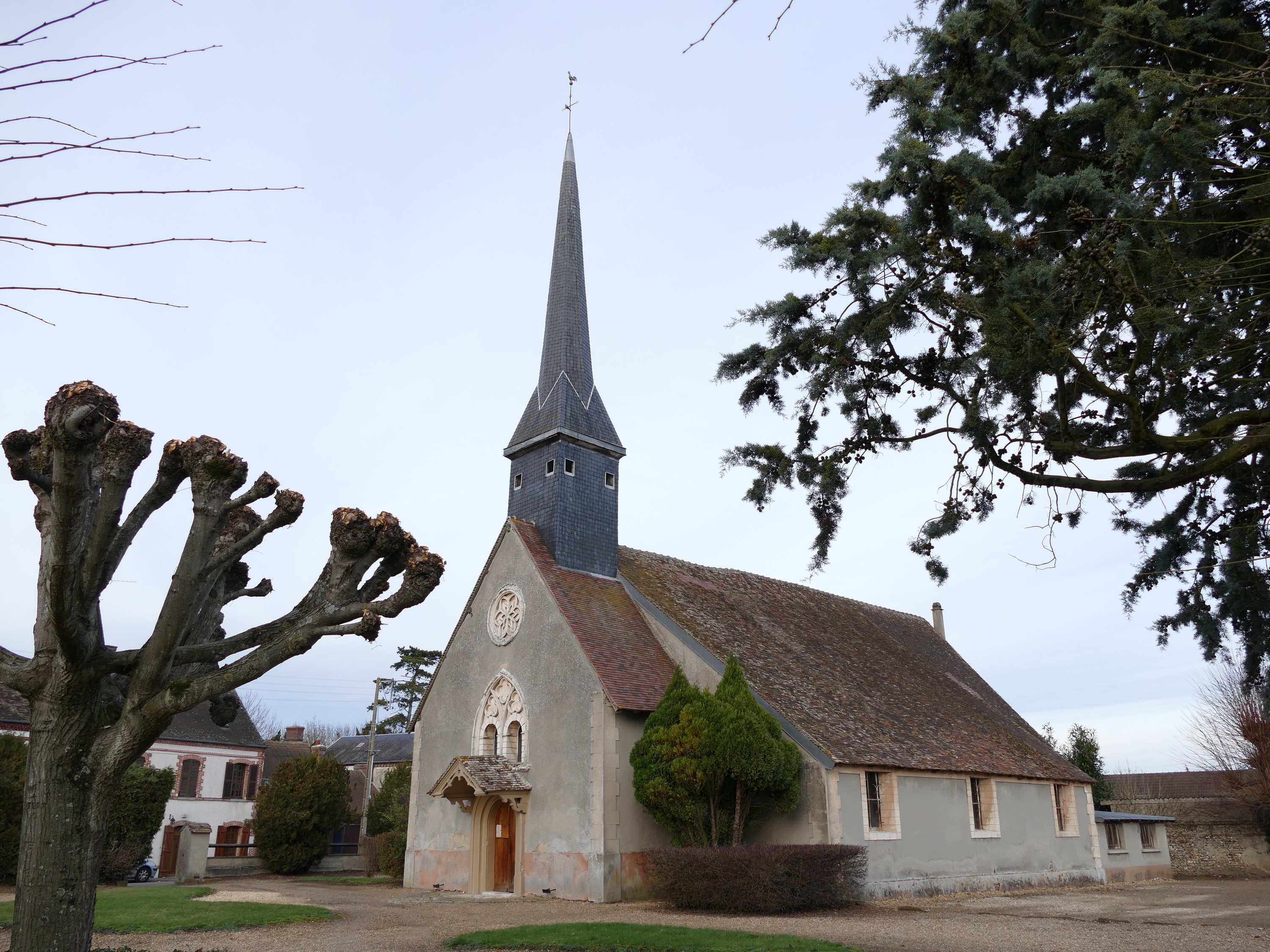
Saint-Roch du Moussel's church in Sorel-Moussel (Eure-et-Loir, Centre, France).