Surat Thani (miasto)
 | |||
| |||
| Państwo | |||
|---|---|---|---|
| Populacja (2019) • liczba ludności | 132 040 | ||
| Kod pocztowy | 84000 | ||
| Strona internetowa | |||
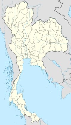
Surat Thani (taj. เทศบาลเมืองสุราษฎร์ธานีี) — miasto w południowej Tajlandii, we wschodniej części Półwyspu Malajskiego, przy ujściu rzeki Tapi do Zatoki Tajlandzkiej, ośrodek administracyjny prowincji Surat Thani. Jest zamieszkiwany przez 132 tys. osób.
Media użyte na tej stronie
The national flag of Kingdom of Thailand since September 2017; there are total of 3 colours:
- Red represents the blood spilt to protect Thailand’s independence and often more simply described as representing the nation.
- White represents the religion of Buddhism, the predominant religion of the nation
- Blue represents the monarchy of the nation, which is recognised as the centre of Thai hearts.
Autor: Ahoerstemeier, Licencja: CC-BY-SA-3.0
Waterfront of Surat Thani, Thailand, as seen from the Bridge connecting the town with Ko Klang Nam Lamphu (Don Nok Road). Photo taken by User:Ahoerstemeier on January 21 2005.


