Tegelen
 Panorama Tegelen | |||||
| |||||
| Państwo | |||||
|---|---|---|---|---|---|
| Populacja • liczba ludności |
| ||||
| Kod pocztowy | 5930–5934 | ||||
Tegelen – dzielnica Venlo w Holandii, do końca 2000 miasto i gmina. Do Tegelen należy wieś i klasztor Steyl. Od nazwy miejscowości pochodzi pojęcie "interglacjału tegeleńskiego".
Linki zewnętrzne
- Historia. archief.venlo.nl. [zarchiwizowane z tego adresu (2007-08-13)].
Media użyte na tej stronie
Vlag voormalige gemeente Tegelen
Autor: Erik Frohne, Licencja: CC BY-SA 3.0
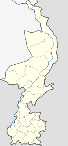
Location map of province Limburg in the Netherlands
Equirectangular projection, N/S stretching 160 %. Geographic limits of the map:
- N: 51.782° N
- S: 50.744° N
- W: 5.56° E
- E: 6.34° E
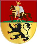
Coat of arms of Tegelen, Limburg Netherlands.


