Voerendaal
| |||||
| Państwo | |||||
|---|---|---|---|---|---|
| Prowincja | |||||
| Burmistrz | Wil Houben (2014)[1] | ||||
| Powierzchnia | 31,52 km² | ||||
| Populacja (2014) • liczba ludności |
| ||||
| Kod pocztowy | 6310–6312 | ||||
| Strona internetowa | |||||
Voerendaal – gmina w Holandii, w prowincji Limburgia.
Miejscowości
Klimmen, Kunrade, Ransdaal, Ubachsberg, Voerendaal.
Przypisy
- ↑ voerendaal.nl: Burgemeester W. (Wil) Houben (niderl.). [dostęp 2021-03-12].
- ↑ Aktualna liczba mieszkańców gminy (nl) [dostęp 25 lipca 2014]
Media użyte na tej stronie
Autor: Erik Frohne, Licencja: CC BY-SA 3.0
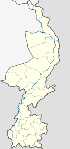
Location map of province Limburg in the Netherlands
Equirectangular projection, N/S stretching 160 %. Geographic limits of the map:
- N: 51.782° N
- S: 50.744° N
- W: 5.56° E
- E: 6.34° E
Flag of Voerendaal
Coat of arms of the Dutch municipality of Voerendaal, Limburg.


