Wyspa Amsterdam
 Wyspa Amsterdam(Amsterdamøya) zaznaczona czerwonym kolorem | |
| Kontynent | |
|---|---|
| Państwo | |
| Akwen | |
| Powierzchnia | 19 km² |
| Populacja • liczba ludności |
|
| 79,75000°N 10,83333°E/79,750000 10,833330 | |
 | |
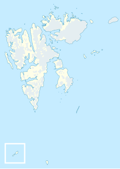
Wyspa Amsterdam (norw. Amsterdamøya, ang. Amsterdam Island) – mała bezludna wyspa na północny zachód od Spitsbergenu, wchodząca w skład norweskiego archipelagu Svalbard, Powierzchnia wyspy wynosi około 19 km², a jej nazwa Amsterdam została nadana najprawdopodobniej przez holenderskich wielorybników, którzy byli częstymi gośćmi w pobliskiej osadzie Smeerenburg. Obecnie wyspa wchodzi w skład Rezerwatu przyrody Spitsbergenu.
Media użyte na tej stronie
Autor: NordNordWest, Licencja: CC BY-SA 3.0
Location map of Svalbard, Norway
Autor: Muffi, Mysid, Licencja: CC BY-SA 4.0
Wyspa Amsterdam (norw. Amsterdamøya) na mapie Spitsbergenu
Autor: The source file is from Uwe Dedering, Licencja: CC BY-SA 3.0
Relief location map of the Arctic Ocean.
- Projection: Azimuthal equidistant projection.
- Area of interest:
- N: 90.0° N
- S: 70.0° N
- W: -180.0° E
- E: 180.0° E
- Projection center:
- NS: 90° N
- WE: 0° E
Map detailing the marine features of Spitsbergen in the Svalbard archipelago. Settlements and mountains are indicated and labelled. See also Image:Spitsbergen mountains and marine features labelled.png. Locations were labelled based on detailed maps from svalbard-images.com (sample of south Spitsbergen linked), cross-referenced with other map sources. Norwegian Polar Institute figures were used for mountain names and heights, which are given in meters above sea level.


