Zamek Drumlanrig
(c) Lynne Kirton, CC BY-SA 2.0 | |
| Państwo | |
|---|---|
| Kraj | |
| Miejscowość | Thornhill |
| Rozpoczęcie budowy | 1679 |
| Ukończenie budowy | 1691[1] |
Położenie na mapie Dumfries and Galloway Contains Ordnance Survey data © Crown copyright and database right, CC BY-SA 3.0 | |
Położenie na mapie Wielkiej Brytanii (c) Karte: NordNordWest, Lizenz: Creative Commons by-sa-3.0 de | |
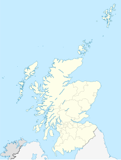
Położenie na mapie Szkocji | |
| Strona internetowa | |
Zamek Drumlanrig (ang. Drumlanrig Castle) − zamek położony w Thornhill, Dumfries and Galloway w Szkocji. W zamku znajduje się ekspozycja części zbiorów kolekcji księcia Buccleuch.
Historia
Zbudowany z różowego piaskowca w latach 1679 - 1691 w miejscu XV-wiecznej fortecy[1].
Przypisy
Media użyte na tej stronie
(c) Karte: NordNordWest, Lizenz: Creative Commons by-sa-3.0 de
Location map of the United Kingdom
Blue Shield - the Distinctive emblem for the Protection of Cultural Property. The distinctive emblem is a protective symbol used during armed conflicts. Its use is restricted under international law.
Contains Ordnance Survey data © Crown copyright and database right, CC BY-SA 3.0
Blank map of Dumfries and Galloway, UK with the following information shown:
- Administrative borders
- Coastline, lakes and rivers
- Roads and railways
- Urban areas
Equirectangular map projection on WGS 84 datum, with N/S stretched 170%
Geographic limits:
- West: 5.25W
- East: 2.75W
- North: 55.50N
- South: 54.50N
Symbol zamku do legendy mapy
(c) Eric Gaba, NordNordWest, CC BY-SA 3.0
Location map of Scotland, United Kingdom


