Zamostne (przystanek kolejowy)
| ||
| Państwo | ||
| Miejscowość | Zamostne | |
| Poprzednie nazwy | Überbrück | |
| Dane techniczne | ||
| Kasy | ||
| Linie kolejowe | ||
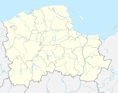
Położenie na mapie Polski (c) Karte: NordNordWest, Lizenz: Creative Commons by-sa-3.0 de | ||
| Portal | ||
Zamostne - nieczynny przystanek kolejowy w powiecie wejherowskim, w województwie pomorskim, w Polsce.
| Zamostne | ||
| Linia 230 Wejherowo – Garczegorze (9,939 km) | ||
odległość: 2,549 km | odległość: 2,378 km | |
Media użyte na tej stronie
Poland adm location map.svg
(c) Karte: NordNordWest, Lizenz: Creative Commons by-sa-3.0 de
Location map of Poland
(c) Karte: NordNordWest, Lizenz: Creative Commons by-sa-3.0 de
Location map of Poland
Pomeranian Voivodeship location map.svg
Autor: SANtosito, Licencja: CC BY-SA 4.0
Location map of Pomeranian Voivodeship. Geographic limits of the map:
Autor: SANtosito, Licencja: CC BY-SA 4.0
Location map of Pomeranian Voivodeship. Geographic limits of the map:
- N: 54.92 N
- S: 53.40 N
- W: 16.65 E
- E: 19.75 E
Powiat wejherowski location map.png
Autor:
Mapa powiatu wejherowskiego, Polska
Autor:
OpenStreetMap contributors
,
Licencja: CC BY-SA 2.0
Mapa powiatu wejherowskiego, Polska
BSicon KBHFl.svg
head station, track to the left
head station, track to the left
BSicon KBHFaq.svg
head station, track to the left
head station, track to the left
BSicon STRq.svg
Straight line aqross (according to naming convention, name + modifier)
Straight line aqross (according to naming convention, name + modifier)
BSicon BHFq.svg
station at track aqross
station at track aqross
BSicon KBHFr.svg
head station, track to the right
head station, track to the right
BSicon KBHFeq.svg
head station, track to the right
head station, track to the right
Wejherowo (gmina wiejska) location map.png
Autor:
Mapa gminy Wejherowo, Polska
Autor:
OpenStreetMap contributors
,
Licencja: CC BY-SA 2.0
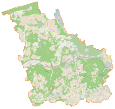
Mapa gminy Wejherowo, Polska


