Zatoka Van Diemena
 | |
| Państwo | |
|---|---|
| Terytorium | |
| Lokalizacja | |
 | |
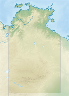
Zatoka Van Diemena (ang. Van Diemen Gulf) – zatoka Morza Timor, u północnego wybrzeża Terytorium Północnego w Australii[1].
Od otwartego morza oddziela ją Wyspa Melville’a i półwysep Cobourg. Od strony północnej zatokę łączy z morzem cieśnina Dundas. Od zachodu cieśnina Clarence łączy ją z zatoką Beagle. Do Zatoki Van Diemena uchodzą rzeki South Alligator, East Alligator i Mary[1].
W 1644 roku zatokę odkrył holenderski żeglarz Abel Tasman, który nadał jej nazwę na cześć gubernatora Antonio van Diemena[1].
Przypisy
- ↑ a b c Van Diemen Gulf, [w:] Encyclopædia Britannica [online] [dostęp 2020-11-11] (ang.).
Media użyte na tej stronie
Autor: , Licencja: CC BY-SA 3.0
Relief map of Australia, including the borders of the states of the Commonwealth of Australia
Autor: Tentotwo, Licencja: CC BY-SA 3.0
Relief location map of the Northern Territory, Australia Equidistant cylindrical projection, latitude of true scale 17.75° S (equivalent to equirectangular projection with N/S stretching 105 %). Geographic limits of the map:
- N: 10.6° S
- S: 26.5° S
- W: 127.5° E
- E: 139.5° E
View of the Van Diemen Gulf in Northern Territory, Australia taken during ISS Expedition 43.
The flag of the Northern Territory (adopted on July 1, 1978 on the first day of self-government) was designed by the Australian artist Robert Ingpen, of Drysdale Victoria, after consultation with members of the community at the invitation of the Northern Territory Government. The flag incorporates the three official Territorian colours of black, white and ochre and is divided into two panels, black at the hoist side taking up one third the length of the flag while the remainder is equal to two third the length of the flag in ochre. The black panel display the five white stars that form the constellation of the Southern Cross, using the Victorian configuration of the Southern Cross with stars having between five to eight points. The flag also features the official Northern Territory floral emblem on the red ochre panel, a stylisation of the Sturt's Desert Rose, which uses seven petals encircling a seven-pointed black star of the federation in the centre. The seven petals symbolises the six Australian states plus the Northern Territory. The Northern Territory Flag was the first official flag that did not contain the Union Jack.


