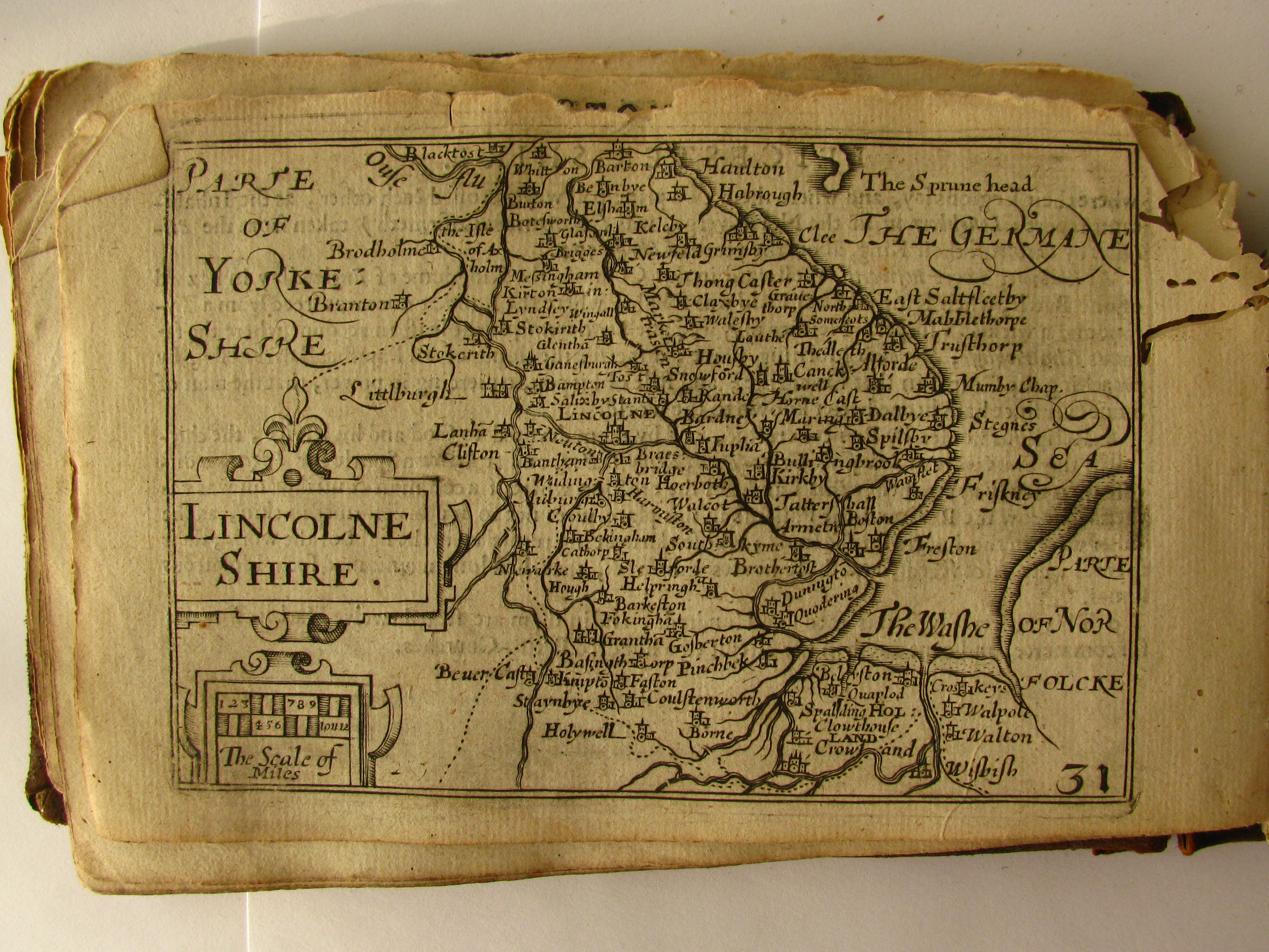
17th Century map of Lincolnshire
Autor:
Credit:
Praca własna
Krótki link:
źródło:
Wymiary:
3456 x 2592 Pixel (7369658 Bytes)
Opis:
Map from the 1627 "Miniature Speed Atlas" of England, Scotland, Ireland and Wales, with maps by Pieter van den Keere. Photograph taken by me, the atlas owned by me
Licencja:
Public domain
Więcej informacji o licencji można znaleźć tutaj. Ostatnia aktualizacja: Wed, 30 Nov 2022 08:11:23 GMT