1928 Okeechobee Flood
Autor:
NOAA
Credit:
Krótki link:
źródło:
Wymiary:
855 x 819 Pixel (175668 Bytes)
Opis:
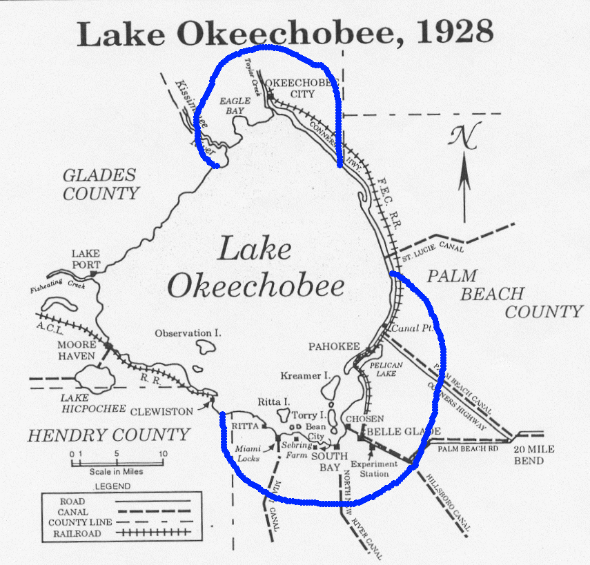
Map showing the area of the flood caused by the 1928 Okeechobee hurricane. Ironically, residents of Torry Island, on the south side of the lake, owe their survival to the resulting flood. Note: The Palm Beach County label is misplaced. North of Canal Point has been in Martin County since 1925.
Licencja:
Public domain
Więcej informacji o licencji można znaleźć tutaj. Ostatnia aktualizacja: Tue, 22 Nov 2022 07:40:29 GMT