Ambae island 3D pic
Autor:
NASA/JPL/NGA
Krótki link:
źródło:
Wymiary:
1234 x 899 Pixel (125956 Bytes)
Opis:
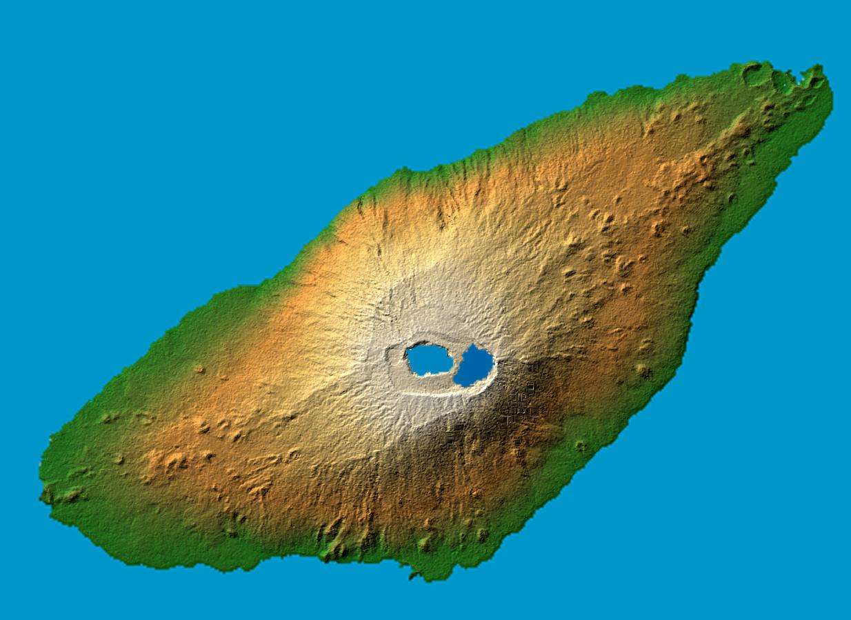
en : Ambae Island, Vanuatu. False-color, computed shadows. Colored according to elevation. Elevation data acquired by the Shuttle Radar Topography Mission on 2000-02-11 aboard Endeavour shuttle.
fr: L'ile de Ambae dans l'archipel de Vanuatu. Image en relief obtenue d'apres des relevés pris par la navette Endeavour en février 2000
Location: 15.4 degree south latitude, 167.9 degrees east longitude Orientation: North toward the top, Mercator projection Size: 36.8 by 27.8 kilometers (22.9 by 17.3 miles) Image Data: shaded and colored SRTM elevation model Date Acquired: February 2000
original name : PIA06675.jpg
Licencja:
Public domain
Więcej informacji o licencji można znaleźć tutaj. Ostatnia aktualizacja: Tue, 05 Oct 2021 01:45:31 GMT