Boston1692
Autor:
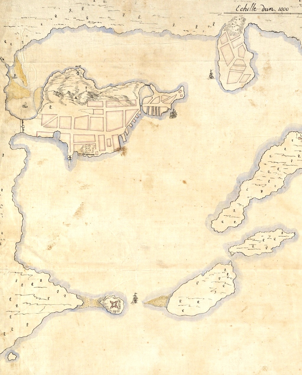
Pierre d'Au de Jolliet
Credit:
Boston Public Library digital map collection: http://maps.bpl.org/details_10927/
Krótki link:
źródło:
Wymiary:
1024 x 1271 Pixel (498328 Bytes)
Opis:
Detail from a 1692 French map of Boston harbor. The Shawmut Peninsula, site of Boston is in the upper left, with Charlestown top center. Castle Island is visible to the lower left.
Licencja:
Public domain
Więcej informacji o licencji można znaleźć tutaj. Ostatnia aktualizacja: Fri, 23 Dec 2022 16:10:49 GMT