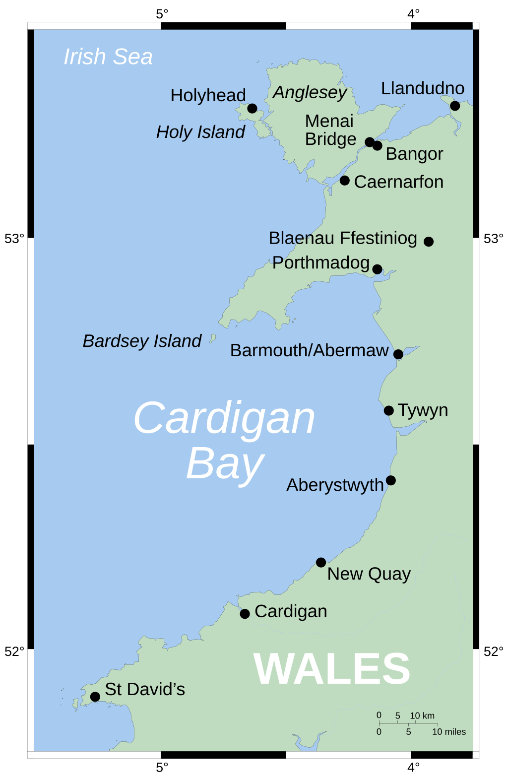
CardiganBay
Autor:
Credit:
Praca własna
Krótki link:
źródło:
Wymiary:
2030 x 3120 Pixel (67290 Bytes)
Opis:
Map showing position of Cardigan Bay off Wales' west coast. Vector version of Image:CardiganBay.png on the English Wikipedia.
Mercator projection. Shore-line derived from GSHHS, rivers from the CIA World DataBank, both public-domain data sources.
Licencja:
Public domain
Więcej informacji o licencji można znaleźć tutaj. Ostatnia aktualizacja: Sat, 15 May 2021 16:34:13 GMT
