Colonisation2
Autor:
Credit:
Na Commons przeniesiono z en.wikipedia.
Krótki link:
źródło:
Wymiary:
1849 x 810 Pixel (2180895 Bytes)
Opis:
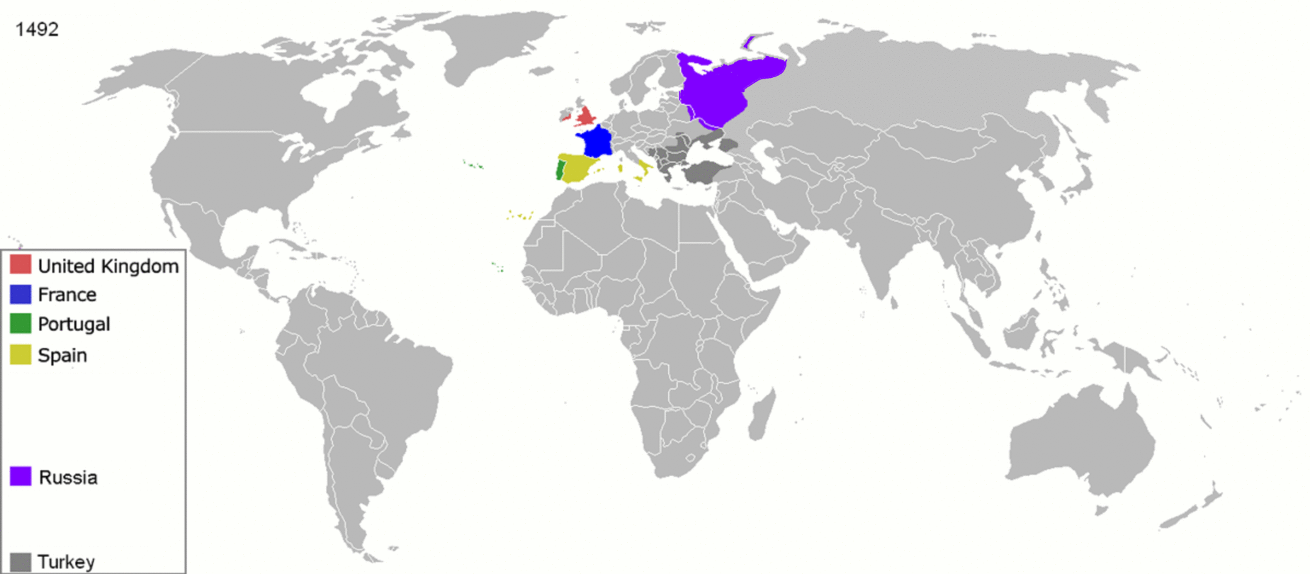
Map indicating the territories colonized by the European powers, United States and Japan.
- Years shown: 1492, 1550, 1600, 1660, 1754, 1822, 1885, 1914, 1938, 1959, 1974, 2007
Licencja:
Public domain
Więcej informacji o licencji można znaleźć tutaj. Ostatnia aktualizacja: Thu, 24 Mar 2022 23:24:46 GMT