Cornwall outline map with UK
Autor:
Credit:
Praca własna
Krótki link:
źródło:
Wymiary:
1351 x 1069 Pixel (123953 Bytes)
Opis:
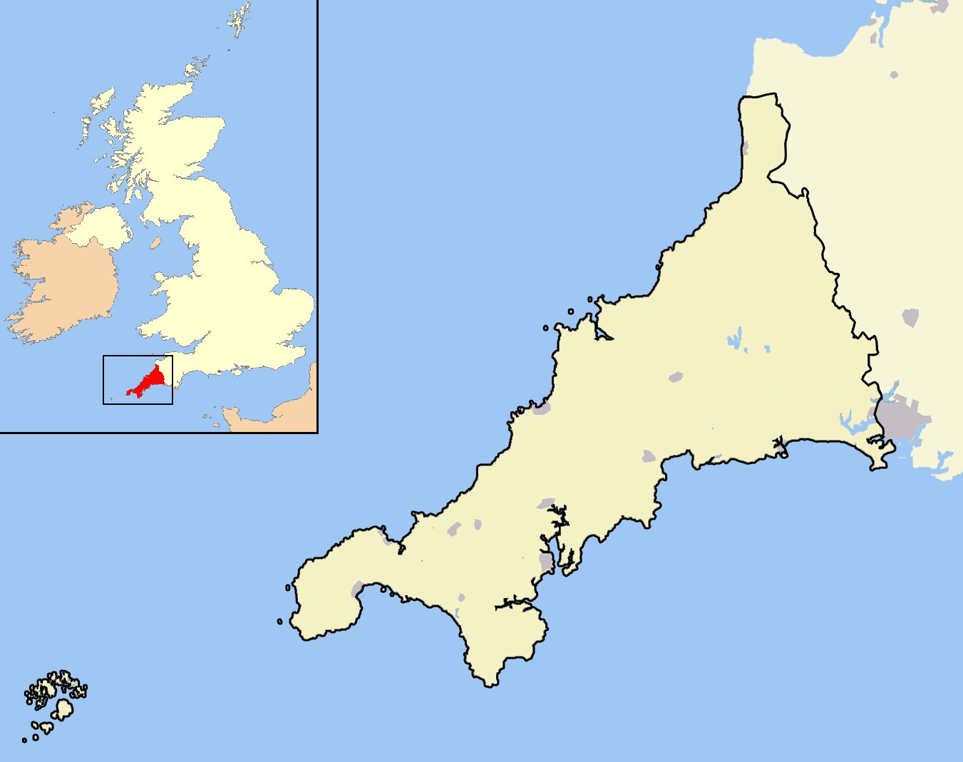
A map of the county of Cornwall, England, United Kingdom, showing the post-2009 district boundaries.
Licencja:
Public domain
Więcej informacji o licencji można znaleźć tutaj. Ostatnia aktualizacja: Thu, 08 Dec 2022 06:39:41 GMT