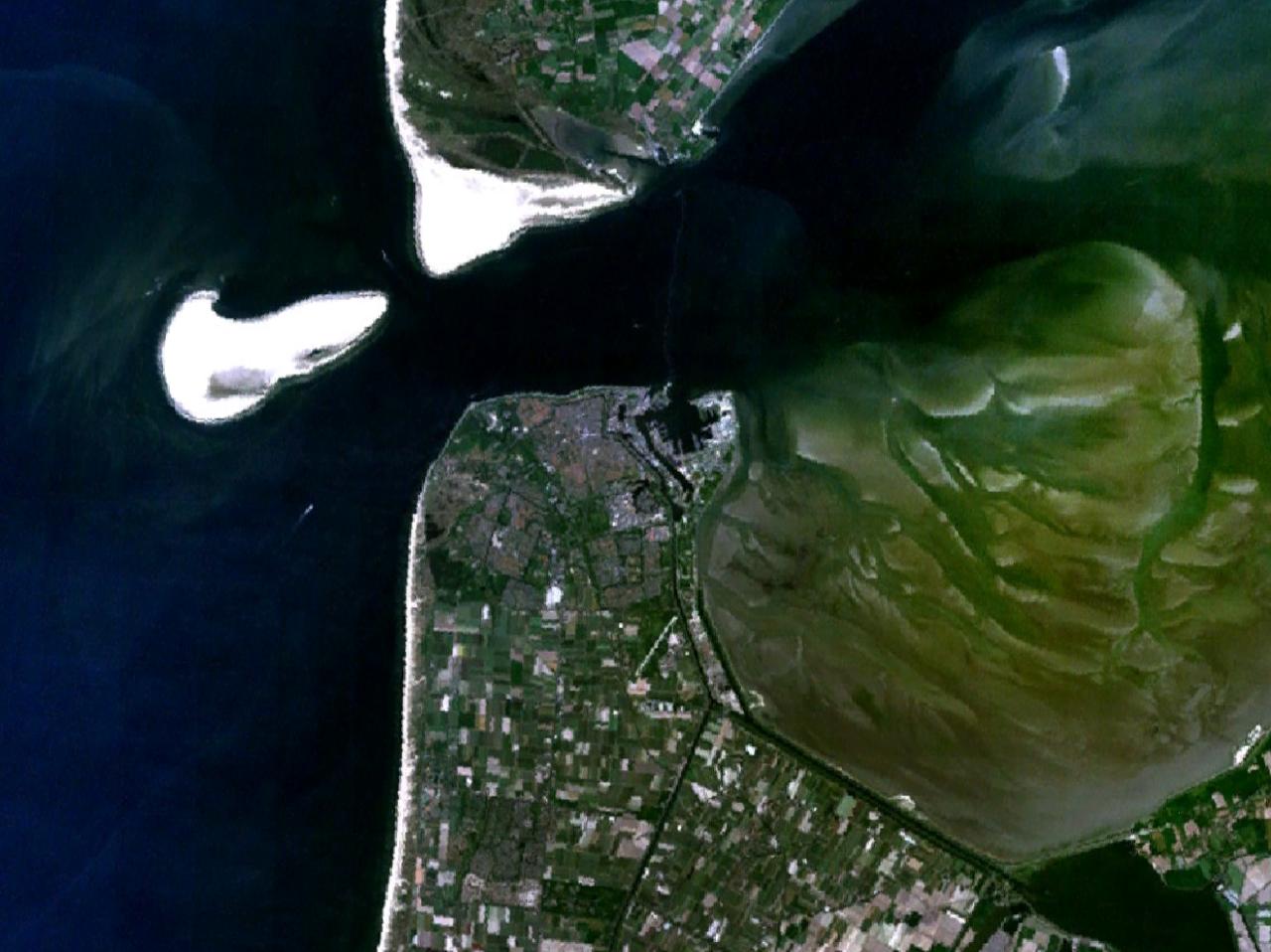
Den Helder 4.77628E 52.95026N
Autor:
NASA
Credit:
Screenshot from NASA World Wind
Krótki link:
źródło:
Wymiary:
1280 x 958 Pixel (121990 Bytes)
Opis:
Satellite image of Den Helder, the southern tip of Texel island, Noorderhaaks sand bank (on the left of the image) and the Marsdiep
Licencja:
Public domain
Więcej informacji o licencji można znaleźć tutaj. Ostatnia aktualizacja: Wed, 23 Mar 2022 01:59:02 GMT