Drygalski
Krótki link:
źródło:
Wymiary:
1138 x 950 Pixel (255574 Bytes)
Opis:
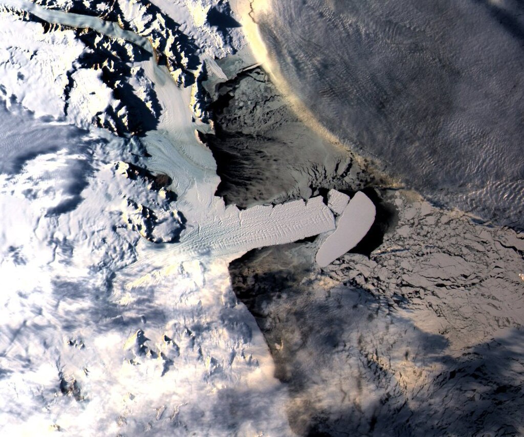
Satellite image of Drygalski ice tongue taken from NASA Aqua satellite with MODIS sensor on 30 March 2006: spatial resolution is 250 meters. The total length of the ice tongue is about 100 km.
the picture shows iceberg C-16 breaking off a large portion of the tip of en:Drygalski ice tongue.
Data downloaded from NASA-Goddard Earth Sciences Data and Information Services Center, processed by Luca Pietranera.
Licencja:
Public domain
Więcej informacji o licencji można znaleźć tutaj. Ostatnia aktualizacja: Thu, 01 Dec 2022 22:09:57 GMT
