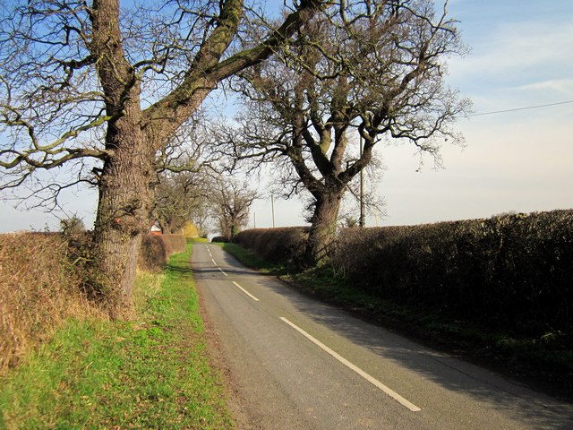
Edgerley Lane near Churton - geograph.org.uk - 2829005

"http://www.w3.org/TR/xhtml1/DTD/xhtml1-strict.dtd">
<html xmlns="http://www.w3.org/1999/xhtml" xml:lang="en" id="geograph"> <head>
<title>Edgerley Lane near Churton:: OS grid SJ4356 :: Geograph Britain and Ireland - photograph every grid square!</title> <meta http-equiv="Content-Type" content="text/html; charset=iso-8859-1" /> <meta name="description" content="Edgerley Lane is also part of the Bishop Bennet Way long distance footpath." /> <meta name="ICBM" content="53.105816376175, -2.8480869311411"/> <meta name="DC.title" content="Geograph:: Edgerley Lane near Churton:: OS grid SJ4356"/> <meta property="og:image" content="http://s0.geograph.org.uk/geophotos/02/82/90/2829005_def29a04.jpg"/> <link rel="stylesheet" type="text/css" title="Monitor" href="http://s1.geograph.org.uk/templates/basic/css/basic.v7747.css" media="screen" /> <link rel="shortcut icon" type="image/x-icon" href="http://s1.geograph.org.uk/favicon.ico"/> <link rel="alternate" type="application/vnd.google-earth.kml+xml" href="/photo/2829005.kml"/> <link rel="search" type="application/opensearchdescription+xml" title="Geograph Britain and Ireland search" href="/stuff/osd.xml" /> <script type="text/javascript" src="http://s1.geograph.org.uk/js/geograph.v7635.js"></script> </head> <body>
<a title="Geograph home page" href="/">Geograph - photograph every grid square</a>
<a title="Grid Reference SJ4356 :: 3 images" href="/gridref/SJ4356">SJ4356</a> : Edgerley Lane near Churton
Więcej informacji o licencji można znaleźć tutaj. Ostatnia aktualizacja: Wed, 02 Feb 2022 04:07:16 GMT