Galapagos-satellite-2002
Autor:
Jacques Descloitres, MODIS Rapid Response Project at NASA/GSFC
Credit:
Earth Observatory 8270 and NASA GSFC
Krótki link:
źródło:
Wymiary:
1600 x 1200 Pixel (395937 Bytes)
Opis:
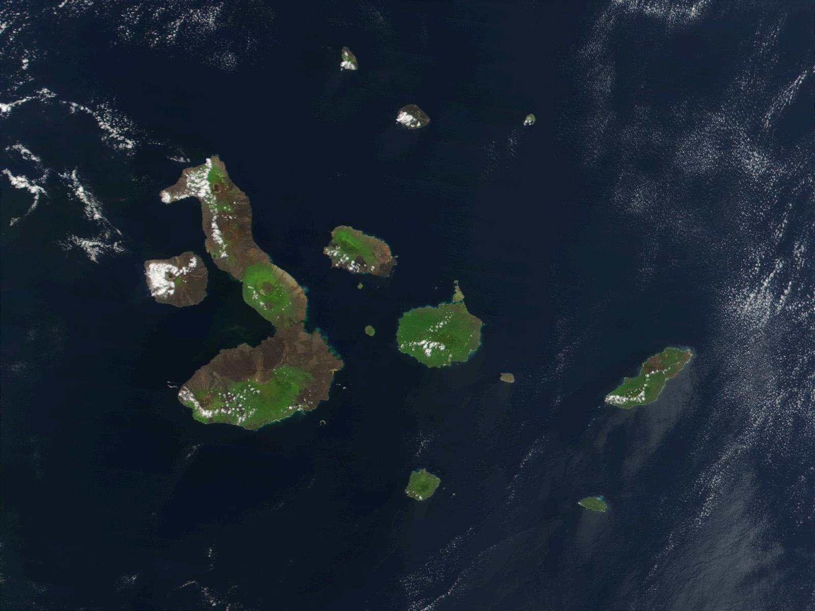
This true-color image of the Galapagos Islands was acquired on March 12, 2002, by the Moderate-resolution Imaging Spectroradiometer (MODIS), flying aboard NASA's Terra satellite. The Galapagos Islands, which are part of Ecuador, sit in the Pacific Ocean about 1000 km (620 miles) west of South America. As the three craters on the largest island (Isabela Island) suggest, the archipelago was created by volcanic eruptions, which took place millions of years ago.
Licencja:
Public domain
Więcej informacji o licencji można znaleźć tutaj. Ostatnia aktualizacja: Sun, 18 Dec 2022 13:51:45 GMT