GooseneckMeandersUtahAerial1
Autor:
USDA/FSA
Credit:
USDA/FSA
Krótki link:
źródło:
Wymiary:
3757 x 2803 Pixel (6276878 Bytes)
Opis:
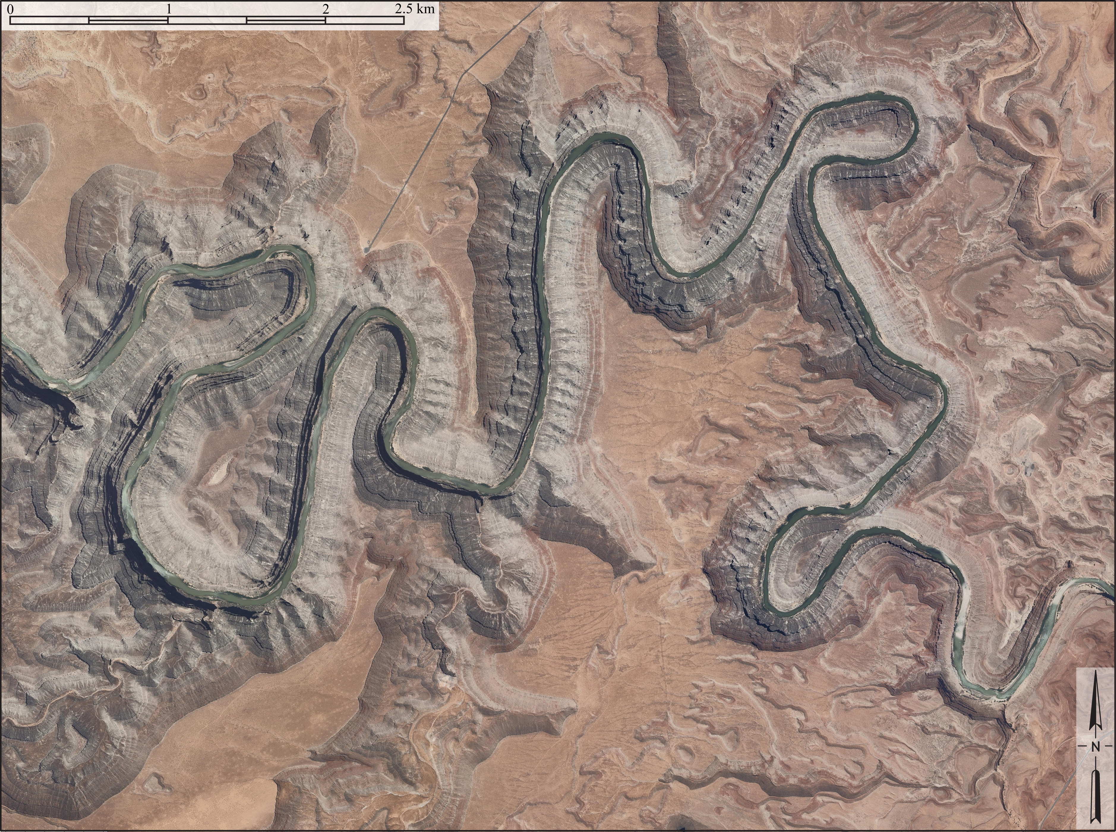
Aerial image of entrenched meanders of the San Juan River within Goosenecks State Park.
- Located in San Juan County, southeastern Utah (U.S.).
- Credits
- Constructed from county topographic map DRG mosaic for San Juan County from USDA/NRCS - National Cartography & Geospatial Center using Global Mapper 12.0 and Adobe Illustrator. Latitude 33° 31' 49.52" N., Longitude 111° 37' 48.02" W.
Licencja:
Public domain
Więcej informacji o licencji można znaleźć tutaj. Ostatnia aktualizacja: Tue, 13 Dec 2022 22:49:44 GMT