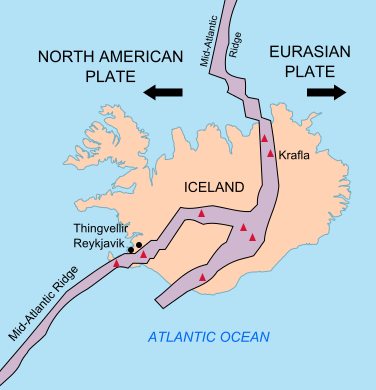
Iceland Mid-Atlantic Ridge map
Krótki link:
źródło:
Wymiary:
376 x 390 Pixel (132458 Bytes)
Opis:
Map showing the Mid-Atlantic Ridge splitting Iceland and separating the North American and Eurasian Plates. The map also shows Reykjavik, the capital of Iceland, the Thingvellir area, and the locations of some of Iceland's active volcanoes (red triangles), including Krafla.
Licencja:
Public domain
Więcej informacji o licencji można znaleźć tutaj. Ostatnia aktualizacja: Sat, 09 May 2020 02:02:18 GMT
