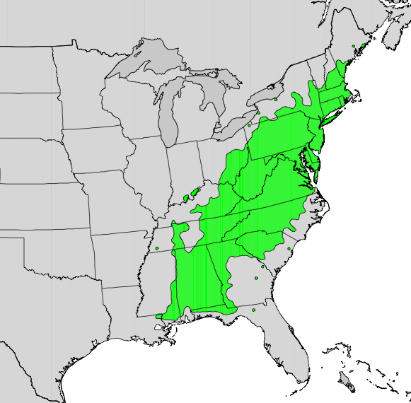
Kalmia latifolia map
Autor:
U.S. Geological Survey
Credit:
Digital representation of "Atlas of United States Trees" by Elbert L. Little, Jr. [1]
Krótki link:
źródło:
Wymiary:
581 x 570 Pixel (100363 Bytes)
Opis:
Range distribution map of Kalmia latifolia.
Licencja:
Public domain
Więcej informacji o licencji można znaleźć tutaj. Ostatnia aktualizacja: Sat, 03 Dec 2022 22:17:50 GMT