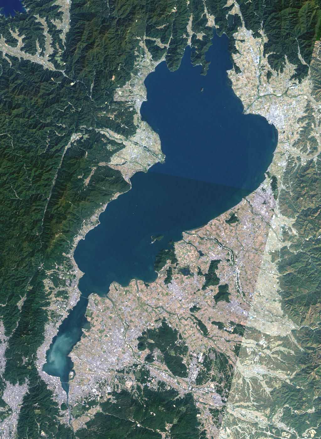
Lake biwa
Autor:
Global Land Cover Facility (GLCF)
Attribution:
Obraz jest oznaczony jako „Wymagane uznanie autorstwa” (attribution required), ale nie podano żadnych informacji o uznaniu autorstwa. Prawdopodobnie parametr atrybucji został pominięty podczas korzystania z szablonu MediaWiki dla licencji CC-BY. Autorzy mogą znaleźć tutaj przykład prawidłowego korzystania z szablonów.
Credit:
The Landsat satellite pictures are used for this image. The data came from Global Land Cover Facility (GLCF), and are processed with Kashmir 3D.
Krótki link:
źródło:
Wymiary:
1024 x 1399 Pixel (179927 Bytes)
Opis:
Landsat image of Lake Biwa. The narrow part at the bottom of the image is called "South Lake", and the large area above is called "North Lake".
Licencja:
Komentarz do licencji:
Warunki licencji:
Creative Commons Attribution-Share Alike 3.0
Więcej informacji o licencji można znaleźć tutaj. Ostatnia aktualizacja: Sun, 08 Jan 2023 09:49:28 GMT