Litovelske Pomoravi
Autor:
NASA, screenshot taken by User:Snek01
Credit:
screenshot from WW2D-0.99.87, layer NTL Landsat 7 (visible color)
Krótki link:
źródło:
Wymiary:
844 x 633 Pixel (523031 Bytes)
Opis:
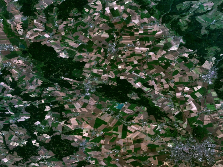
map of Litovelské Pomoraví Protected Landscape Area, the Czech Republic
Licencja:
Public domain
Komentarz do licencji:
|
|
This image is in the public domain because it is a screenshot from NASA’s globe software World Wind using a public domain layer, such as Blue Marble, MODIS, Landsat, SRTM, USGS or GLOBE.
|
|
Więcej informacji o licencji można znaleźć tutaj. Ostatnia aktualizacja: Fri, 11 Jun 2021 08:28:01 GMT