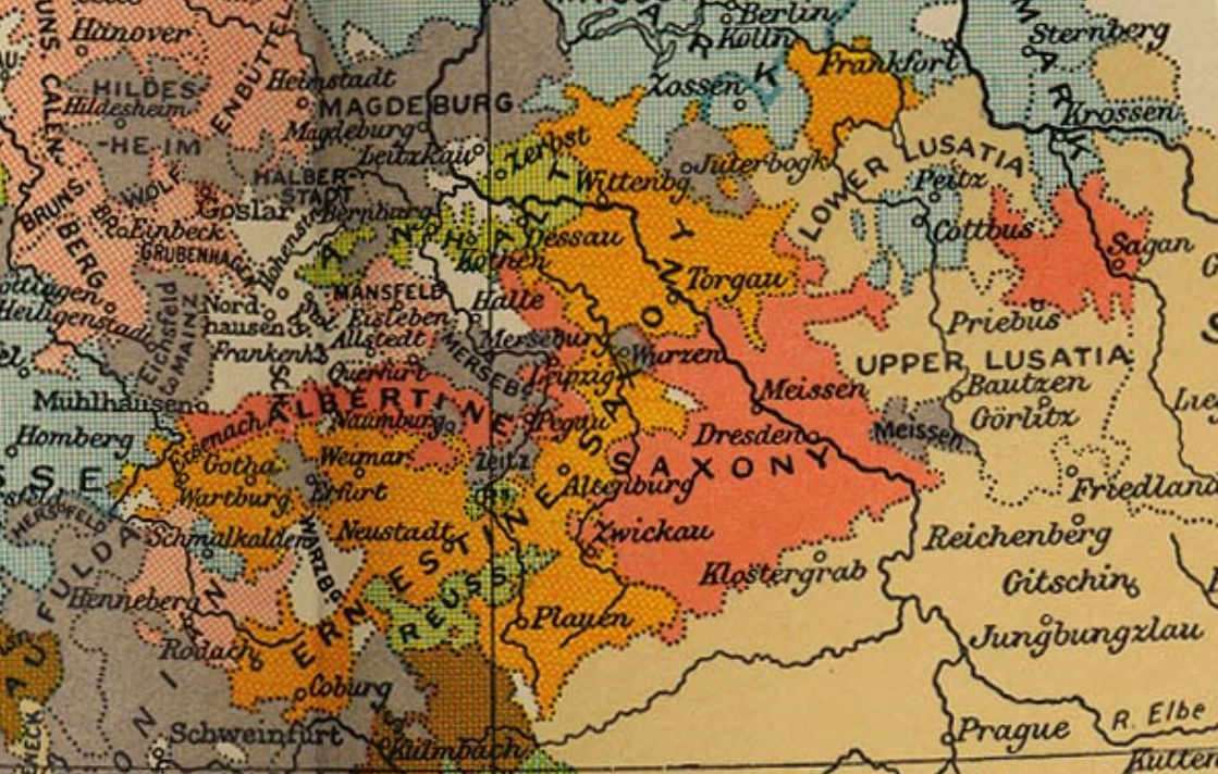
Luther region 1519
Autor:
edited by Sir Adolphus William Ward, G.W. Prothero, Sir Stanley Mordaunt Leathes, and E.A. Benians. Cambridge University Press; London. 1912.
Credit:
public domain map from PCL collection at the University of Texas - [1]
Krótki link:
źródło:
Wymiary:
1119 x 712 Pixel (2416221 Bytes)
Opis:
Political map of the region tied to Martin Luther in 1519.
Licencja:
Public domain
Więcej informacji o licencji można znaleźć tutaj. Ostatnia aktualizacja: Fri, 13 Jan 2023 09:57:04 GMT