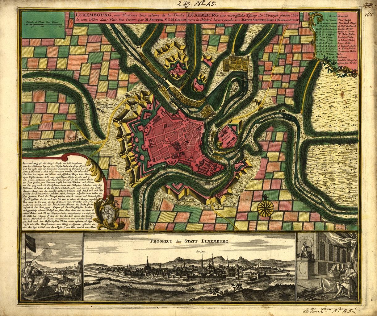
Luxembourg plan Matteus Seuter
Autor:
Krótki link:
źródło:
Wymiary:
1221 x 1024 Pixel (389885 Bytes)
Opis:
Map of Luxembourg City around 1730 by Matteus Seuter, a map publisher from Augsburg, Germany. It was published in his Grosser Atlas in 1734.
Licencja:
Public domain
Więcej informacji o licencji można znaleźć tutaj. Ostatnia aktualizacja: Tue, 19 May 2020 18:24:20 GMT