MachiasBay1776
Autor:
Des Barres, Joseph F.W.
Credit:
From the Boston Public Library Digital Map collection (maps.bpl.org). Call Number: G1106.P5 1777 .D4
URL at time of upload: http://maps.bpl.org/details_12641/
Krótki link:
źródło:
Wymiary:
600 x 753 Pixel (648575 Bytes)
Opis:
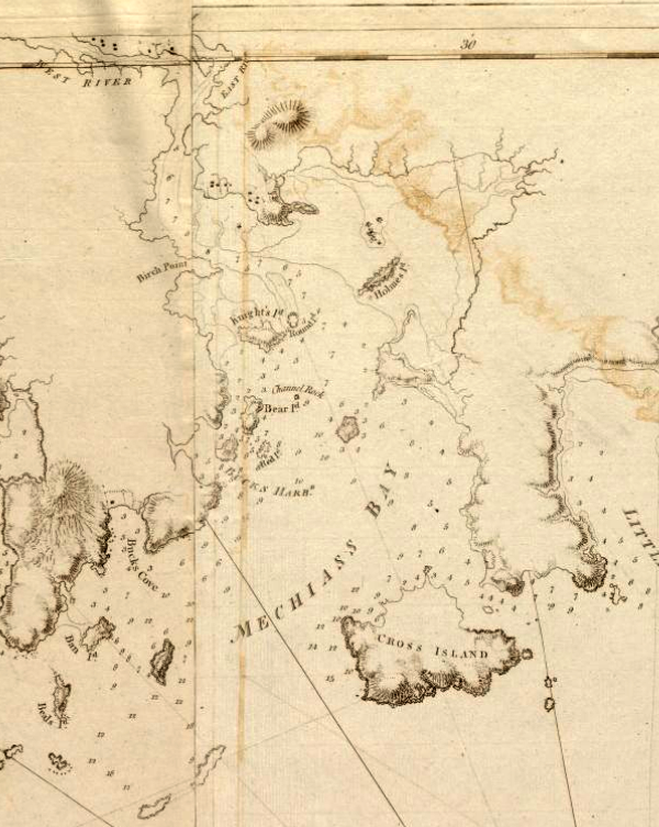
This is a detail of the source, which is a nautical chart captioned Coast of Maine from Moose Cove to Gouldsboro Bay. This detail shows only Machias Bay. The community of Machias is just visible at the top of the map.
Licencja:
Public domain
Więcej informacji o licencji można znaleźć tutaj. Ostatnia aktualizacja: Sun, 28 Nov 2021 13:15:13 GMT