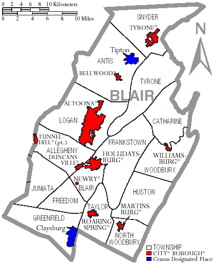
Map of Blair County Pennsylvania With Municipal and Township Labels
Autor:
US Census, Ruhrfisch
Credit:
taken from US Census website [1] and modified by User:Ruhrfisch
Krótki link:
źródło:
Wymiary:
420 x 516 Pixel (37096 Bytes)
Opis:
Map of Blair County, Pennsylvania, United States with township and municipal boundaries
Licencja:
Public domain
Komentarz do licencji:
US Census / US Government work is public domain, my modifications licensed under the GNU Free Documentation License
Więcej informacji o licencji można znaleźć tutaj. Ostatnia aktualizacja: Thu, 15 Sep 2022 18:48:27 GMT