Map of the full sun
Autor:
NASA/STEREO/SDO/GSFC
Krótki link:
źródło:
Wymiary:
3000 x 1500 Pixel (1123265 Bytes)
Opis:
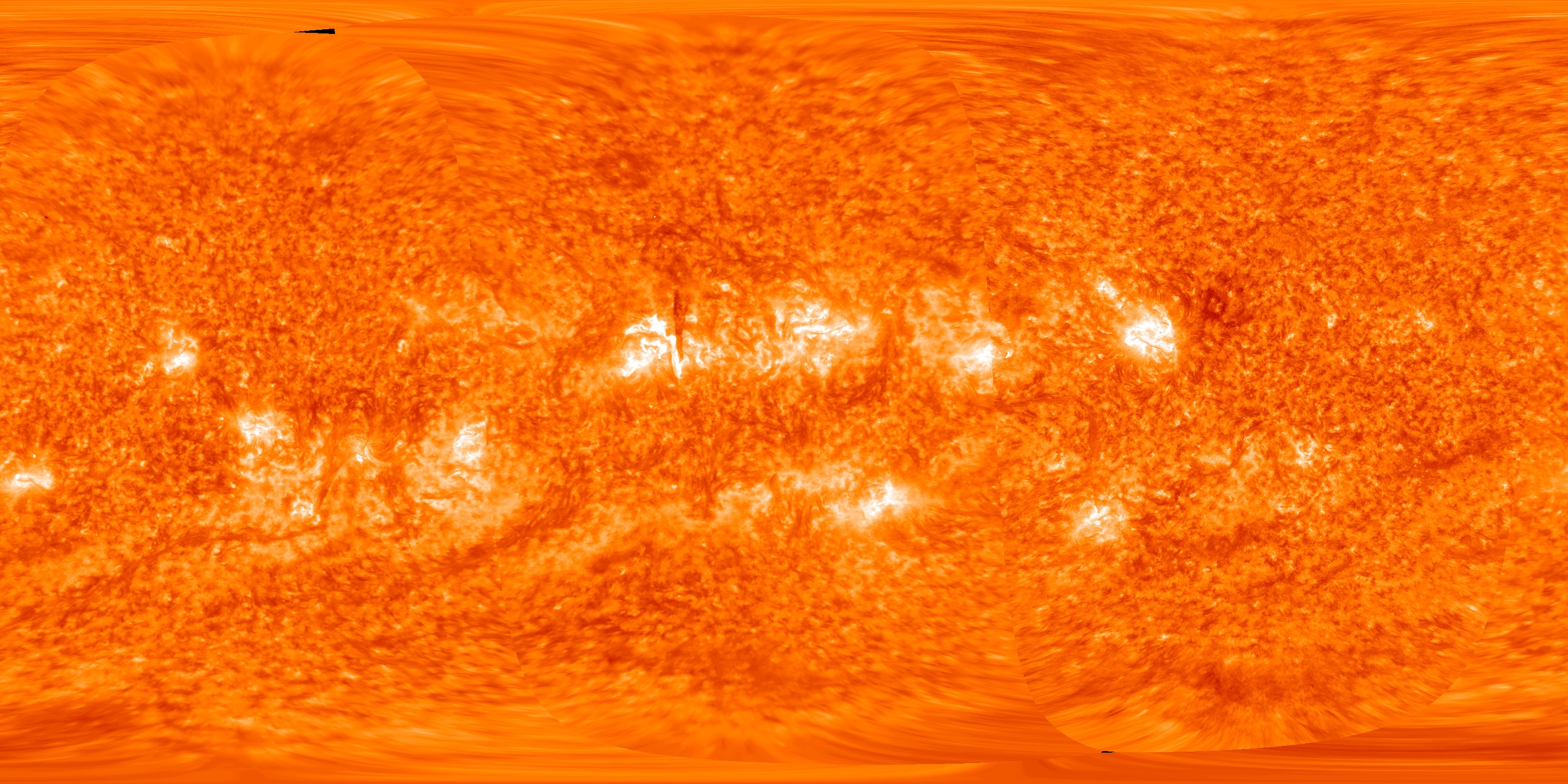
This map of the full sun on 14 October 2012 was created by spacecraft images from, in order from left to right, STEREO-A, STEREO-B and the Solar Dynamics Observatory
The dark vertical line near the centre of the picture is an overhead view of a solar prominence (see File:STEREO view of solar prominence on 2012-10-14.jpg for explanation).
The dark vertical line near the centre of the picture is an overhead view of a solar prominence (see File:STEREO view of solar prominence on 2012-10-14.jpg for explanation).
Licencja:
Public domain
Więcej informacji o licencji można znaleźć tutaj. Ostatnia aktualizacja: Mon, 19 Dec 2022 21:03:12 GMT