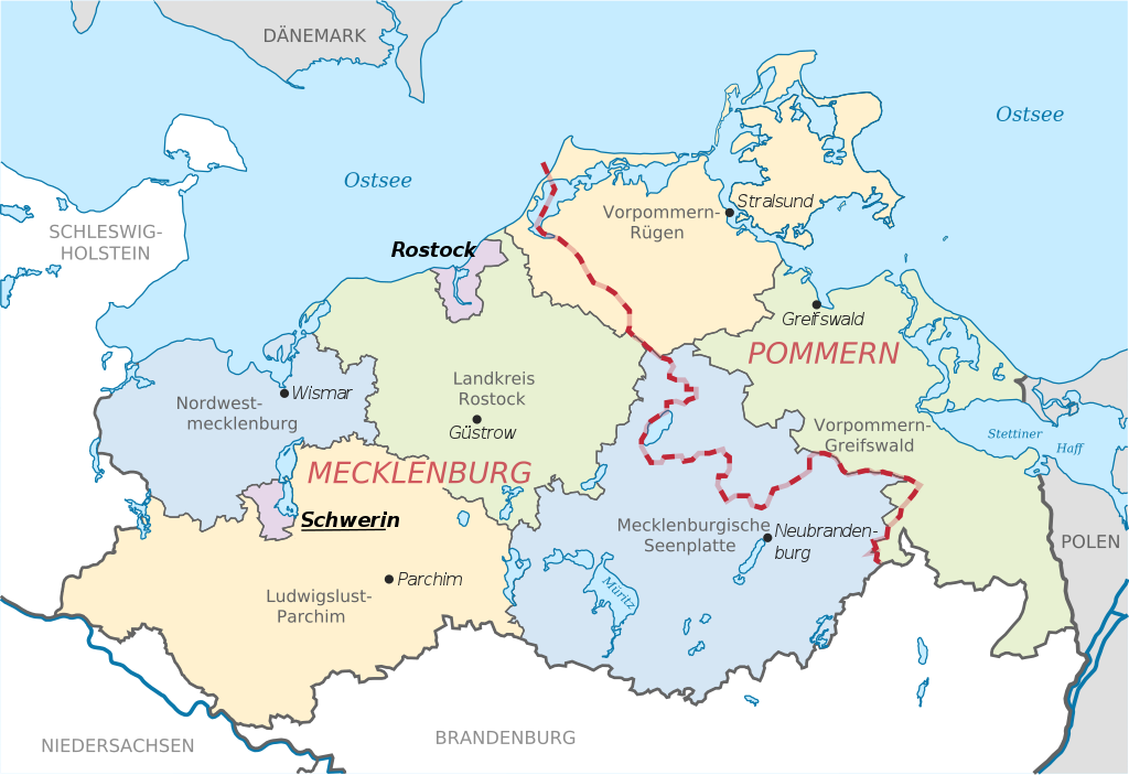
Mecklenburg-Vorpommern Map Districts Border Mecklenburg Western Pomerania - Landkreise Grenzen Karte MV MeckPomm
Autor:
Krótki link:
źródło:
Wymiary:
1129 x 775 Pixel (776890 Bytes)
Opis:
Locator map of counties and their seats in Mecklenburg-Vorpommern, Germany after county reorganization 2011. The red-white line indicates the former border between the state of Mecklenburg and the Prussian province of Pommerania.
Licencja:
Public domain
Więcej informacji o licencji można znaleźć tutaj. Ostatnia aktualizacja: Thu, 07 Jul 2022 01:45:56 GMT
