Northlasv
Autor:
Credit:
Praca własna
Krótki link:
źródło:
Wymiary:
1011 x 369 Pixel (125699 Bytes)
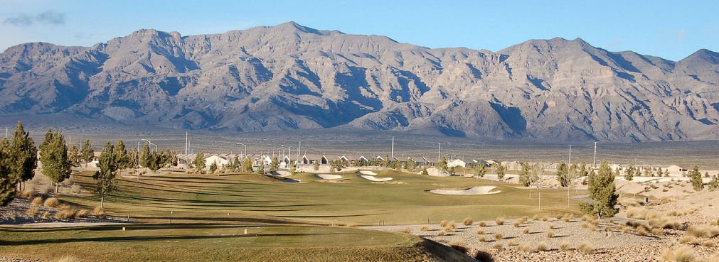
Opis:
The southern section of the Las Vegas Range, and the Aliante Golf Club in the Las Vegas Valley — in Clark County, southern Nevada.
- The highest point of the range is Gass Peak at 6,943 feet (2,116 m) (left-center in photo).
- The range has a long north-south ridgeline-(lower in elevation), with the southern end forming a en:massif, probably caused by the same transform (strike/slip) fault that created Red Rock Park west of Las Vegas, and causing the uplift of Mount Charleston, (with its seabed fossils).
Licencja:
Public domain
Więcej informacji o licencji można znaleźć tutaj. Ostatnia aktualizacja: Thu, 06 Oct 2022 09:56:19 GMT