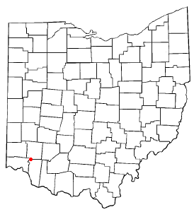
OHMap-doton-Loveland
(c) Catbar at en.wikipedia, CC-BY-SA-3.0
Autor:
Credit:
Adapted from Wikipedia's OH county maps by Catbar. abr/>
Transferred from en.wikipedia.
Krótki link:
źródło:
Wymiary:
274 x 300 Pixel (10438 Bytes)
Licencja:
Warunki licencji:
Creative Commons Attribution-Share Alike 3.0
Więcej informacji o licencji można znaleźć tutaj. Ostatnia aktualizacja: Sun, 02 Oct 2022 00:34:20 GMT
