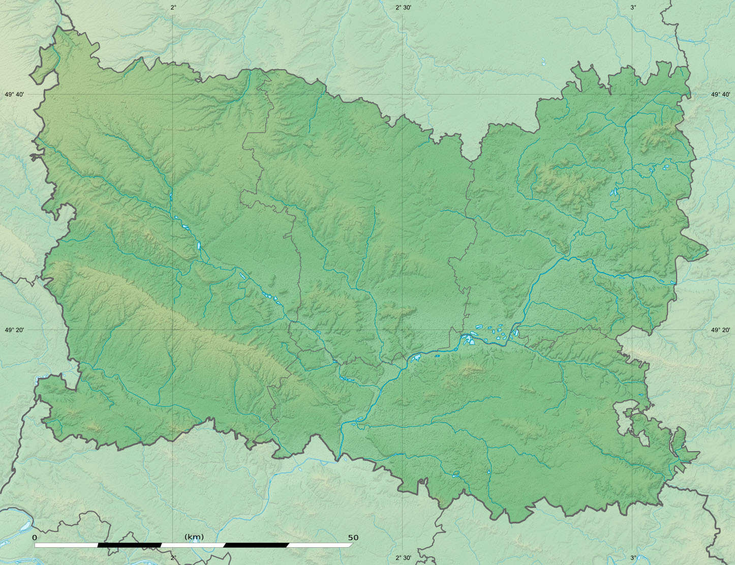
Oise department relief location map
Credit:
Praca własna
- Sources of data:
- NASA Shuttle Radar Topography Mission (SRTM1 v2 and SWBD) (public domain);
- BD Carthage 2013 (open license) created by the IGN and available on Sandre's site;
- NASA Shuttle Radar Topography Mission (SRTM1 v2 and SWBD) (public domain);
- References for the boundaries:
Krótki link:
źródło:
Wymiary:
1446 x 1111 Pixel (357713 Bytes)
Opis:
Blank physical map of the department of Oise, France, as in December 2014, for geo-location purpose, with distinct boundaries for regions, departments and arrondissements.
Licencja:
Komentarz do licencji:
| Attribution and Share-Alike required |
|---|
| Any use of this map can be made as long as you credit me (Eric Gaba – Wikimedia Commons user: Sting) as the author and distribute the copies and derivative works under the same license(s) that the one(s) stated below. A message with a reply address would also be greatly appreciated. |
Warunki licencji:
Creative Commons Attribution-Share Alike 3.0
Więcej informacji o licencji można znaleźć tutaj. Ostatnia aktualizacja: Thu, 15 Dec 2022 12:05:44 GMT