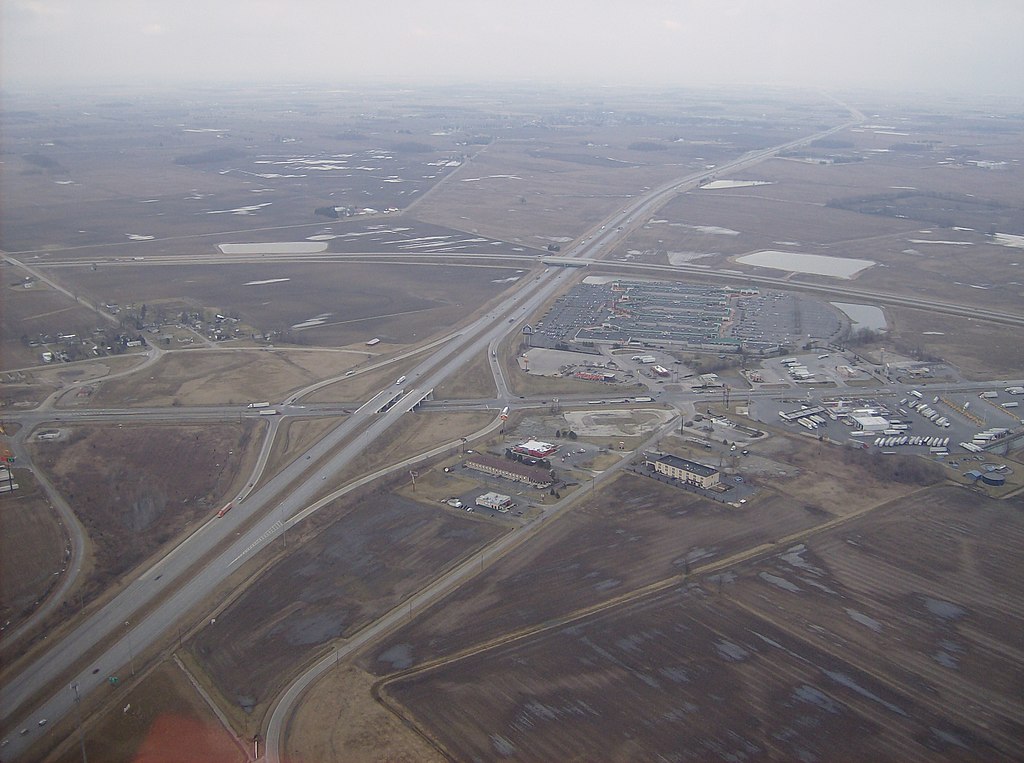
Overview of West Lancaster
Autor:
Credit:
Praca własna
Krótki link:
źródło:
Wymiary:
2576 x 1920 Pixel (2116152 Bytes)
Opis:
Aerial view of West Lancaster, a community in southern Jefferson Township, Fayette County, Ohio, United States. The village of Octa lies primarily just off the bottom edge of the picture, although its village limits extend along the road that appears from the picture's bottom edge. Picture taken from a Diamond Eclipse light airplane at an altitude of 2,500 feet MSL at an bearing of approximately 5º. The interchange is Interstate 71 over State Route 435, and the divided highway's overpass in the background is U.S. Route 35 passing over the interstate.
Licencja:
Public domain
Komentarz do licencji:
| Ja, właściciel praw autorskich do tej pracy, udostępniam ją jako własność publiczną. Dotyczy to całego świata. W niektórych krajach może nie być to prawnie możliwe, jeśli tak, to: Zapewniam każdemu prawo do użycia tej pracy w dowolnym celu, bez żadnych ograniczeń, chyba że te ograniczenia są wymagane przez prawo. |
Więcej informacji o licencji można znaleźć tutaj. Ostatnia aktualizacja: Thu, 01 Dec 2022 10:55:57 GMT
