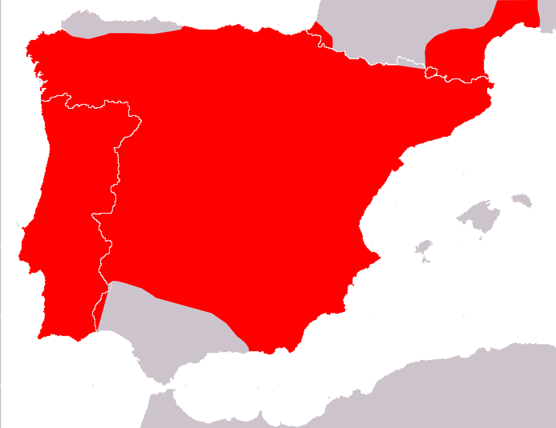
Podarcis hispanicus range Map
Autor:
Credit:
- Species assessors:Jose Antonio Mateo Miras, Marc Cheylan, M. Saïd Nouira, Ulrich Joger, Paulo Sá-Sousa, Valentin Pérez-Mellado, Iñigo Martínez-Solano 2008. Podarcis hispanicus. In: IUCN 2010. IUCN Red List of Threatened Species. Version 2010.2. <www.iucnredlist.org>. Downloaded on 04 August 2010.
- Spatial data compiled: IUCN
Krótki link:
źródło:
Wymiary:
1087 x 838 Pixel (52778 Bytes)
Opis:
Podarcis hispanicus range map.
Licencja:
Komentarz do licencji:
The use of spatial data from the IUCN Red List web site to produce species distribution maps is subject to the Attribution-Share Alike Creative Commons License. In short: you are free to distribute and modify the file as long as you attribute its authors and the IUCN Red List.
Warunki licencji:
Creative Commons Attribution-Share Alike 3.0
Więcej informacji o licencji można znaleźć tutaj. Ostatnia aktualizacja: Fri, 25 Nov 2022 07:11:34 GMT