Polish plan of Moscow 1610
Autor:
anonymous plate
Credit:
web
Krótki link:
źródło:
Wymiary:
6600 x 5100 Pixel (49663108 Bytes)
Opis:
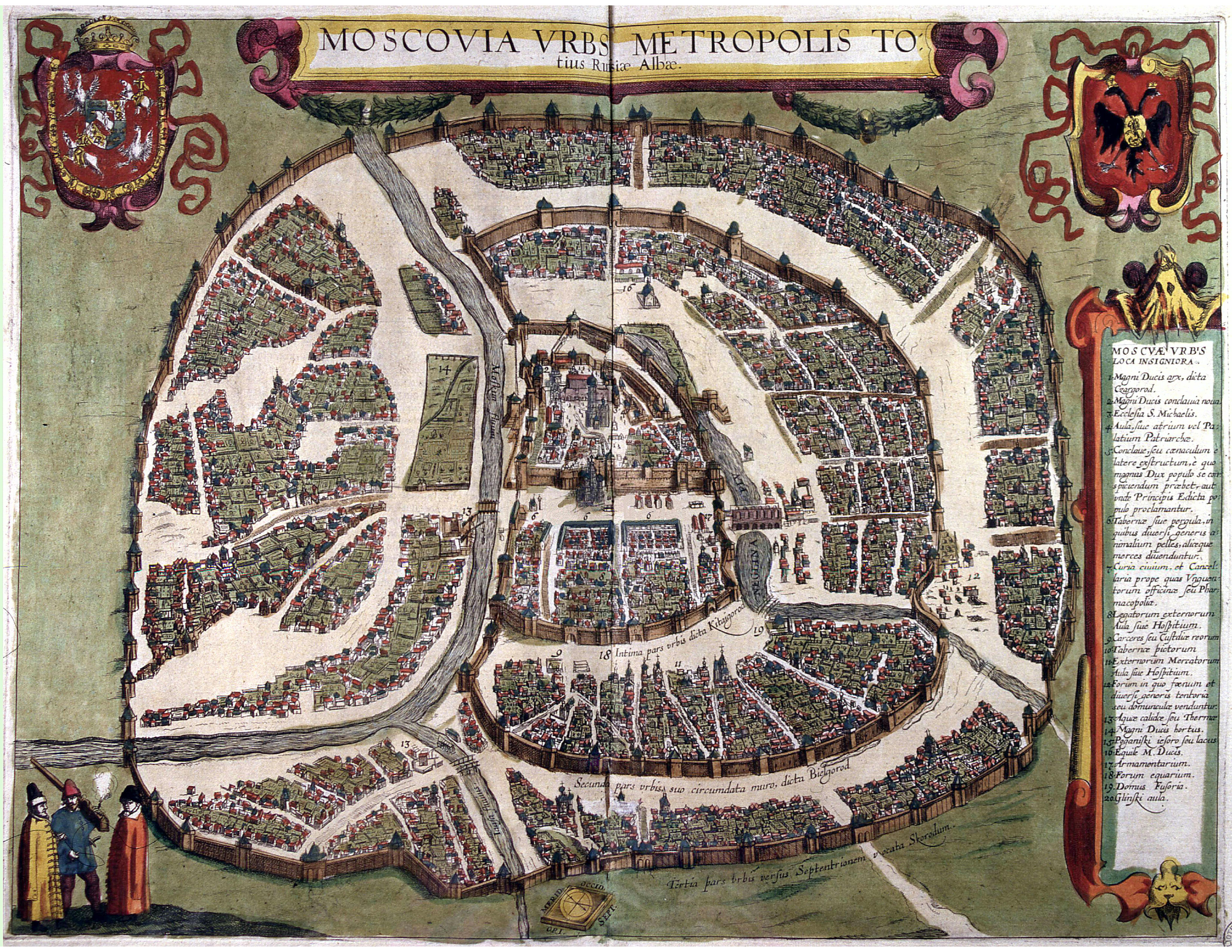
Sigizmundian Plan of Moscow, engraved in 1610, is the last city plan compiled (by the Poles) before the destruction of the city in 1612 and subsequent changes to the street network. Orientation: North is at the right, West at the top.
Licencja:
Public domain
Więcej informacji o licencji można znaleźć tutaj. Ostatnia aktualizacja: Mon, 26 Sep 2022 03:31:24 GMT