Roosevelt Island, Antarctica - satellite image
Autor:
- Ross_Ice_Shelf_and_Saunders_Coast,_Antarctica.A2001315.1840.250m.jpg: Jacques Descloitres, MODIS Land Rapid Response Team, NASA/GSFC
- derivative work: Avenue (talk)
Krótki link:
źródło:
Wymiary:
720 x 1104 Pixel (91222 Bytes)
Opis:
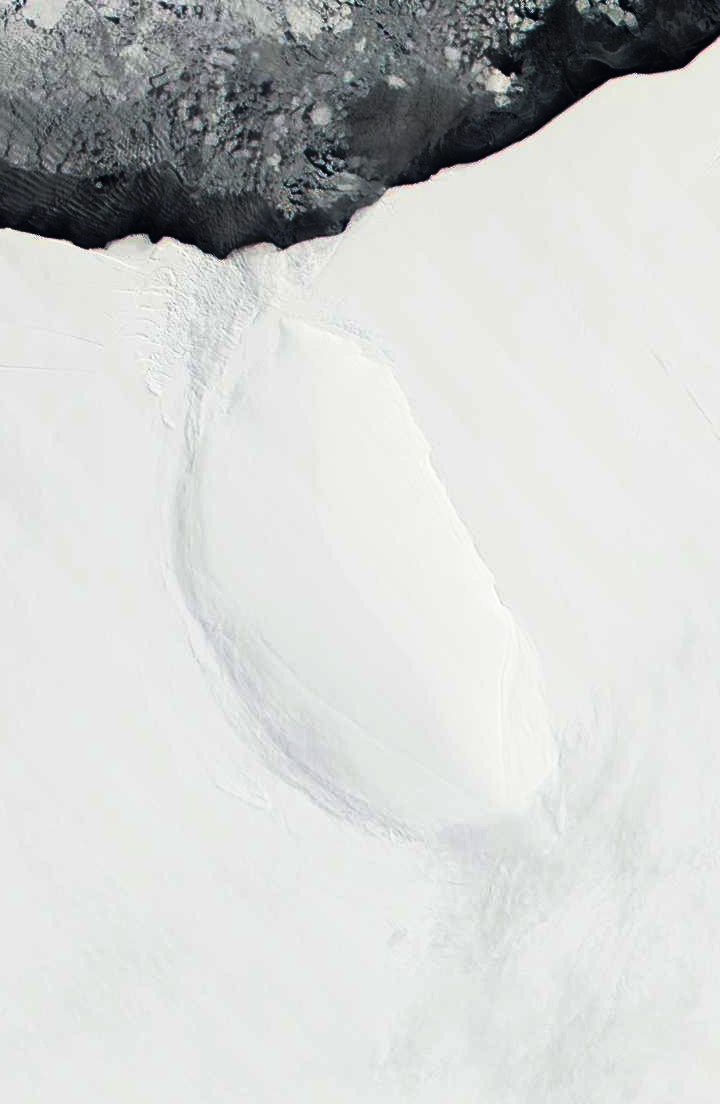
Roosevelt Island and coast of Ross Ice Shelf, Antarctica. Darkened and cropped from a wider view of the ice shelf, a true-color image from NASA’s Moderate Resolution Imaging Spectroradiometer (MODIS) taken on November 11 and 12, 2001.
Licencja:
Public domain
Więcej informacji o licencji można znaleźć tutaj. Ostatnia aktualizacja: Fri, 09 Dec 2022 22:02:59 GMT