SC-Mont Fleuri
Autor:
Credit:
Praca własna
- Transferred from en.wikipedia to Commons by User:Egs using CommonsHelper.
Krótki link:
źródło:
Wymiary:
475 x 601 Pixel (15307 Bytes)
Opis:
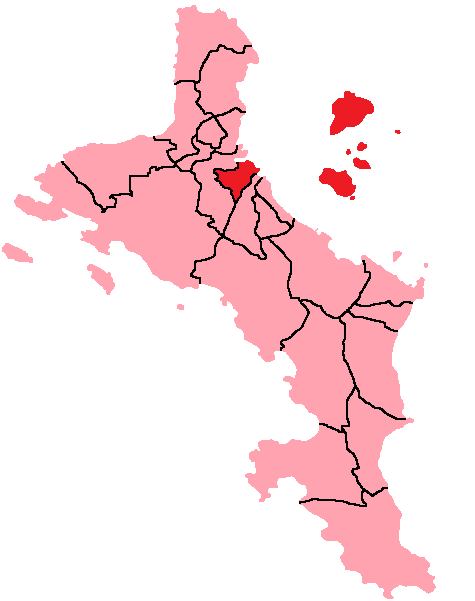
Map of Mahe Island, Seychelles showing Mont Fleuri District; created with the GIMP. Made by User:Acntx.
Licencja:
Warunki licencji:
Creative Commons Attribution-Share Alike 3.0
Więcej informacji o licencji można znaleźć tutaj. Ostatnia aktualizacja: Sun, 28 Nov 2021 13:08:11 GMT