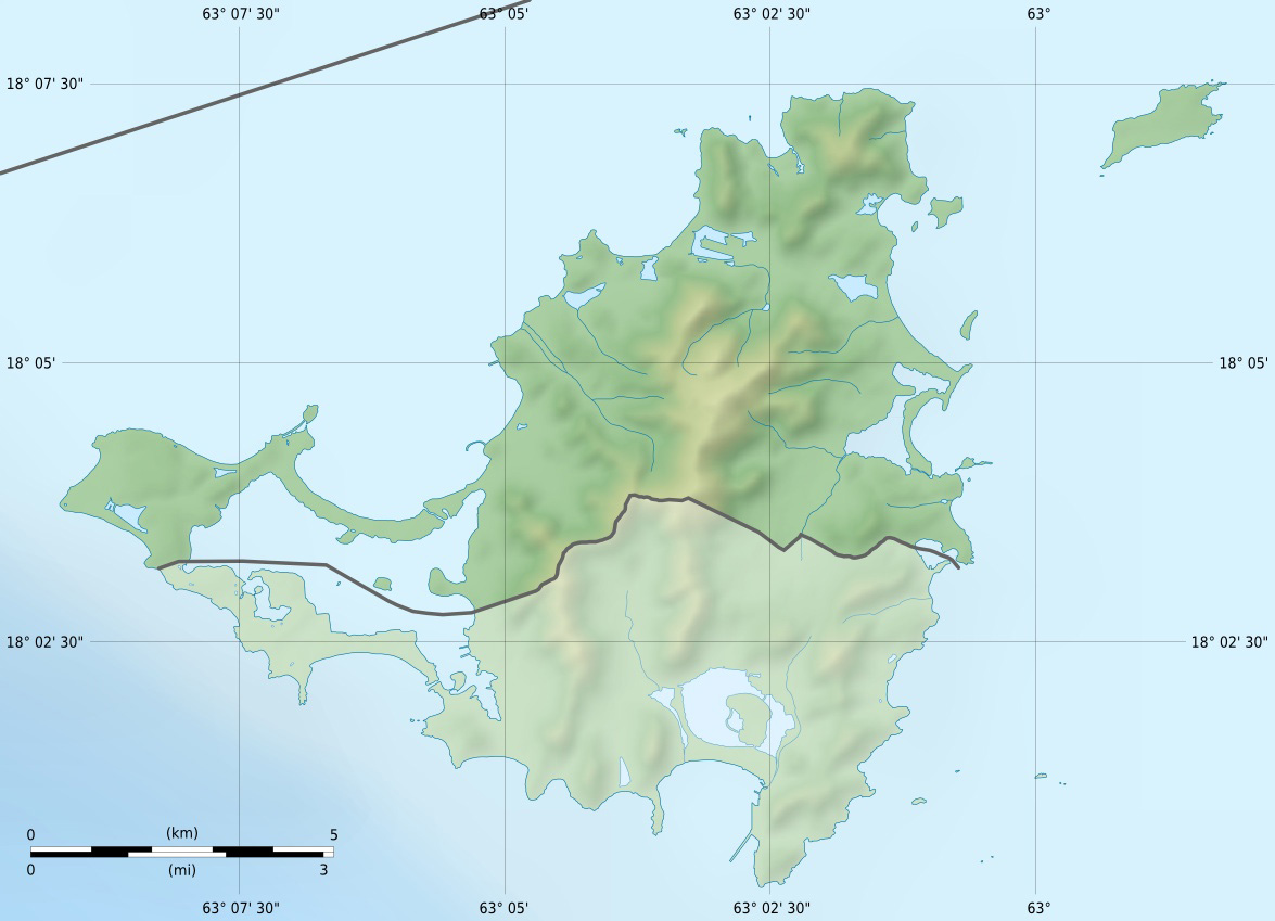
Saint-Martin collectivity relief location map
Attribution:
Obraz jest oznaczony jako „Wymagane uznanie autorstwa” (attribution required), ale nie podano żadnych informacji o uznaniu autorstwa. Prawdopodobnie parametr atrybucji został pominięty podczas korzystania z szablonu MediaWiki dla licencji CC-BY. Autorzy mogą znaleźć tutaj przykład prawidłowego korzystania z szablonów.
Credit:
Praca własna
- Topography : NASA Shuttle Radar Topography Mission (SRTM3 v.2) (public domain) ;
- Bathymetry: NGDC ETOPO1 (public domain) ;
- Shorelines, lakes, ponds and streams: created from Landsat 7 ETM+ imagery (public domain).
Krótki link:
źródło:
Wymiary:
1175 x 849 Pixel (171047 Bytes)
Opis:
Licencja:
Komentarz do licencji:
| Attribution and Share-Alike required |
|---|
| Any use of this map can be made as long as you credit me (Eric Gaba – Wikimedia Commons user: Sting) as the author and distribute the copies and derivative works under the same license(s) that the one(s) stated below. A message with a reply address would also be greatly appreciated. |
Warunki licencji:
Creative Commons Attribution-Share Alike 3.0
Więcej informacji o licencji można znaleźć tutaj. Ostatnia aktualizacja: Fri, 30 Dec 2022 11:35:48 GMT