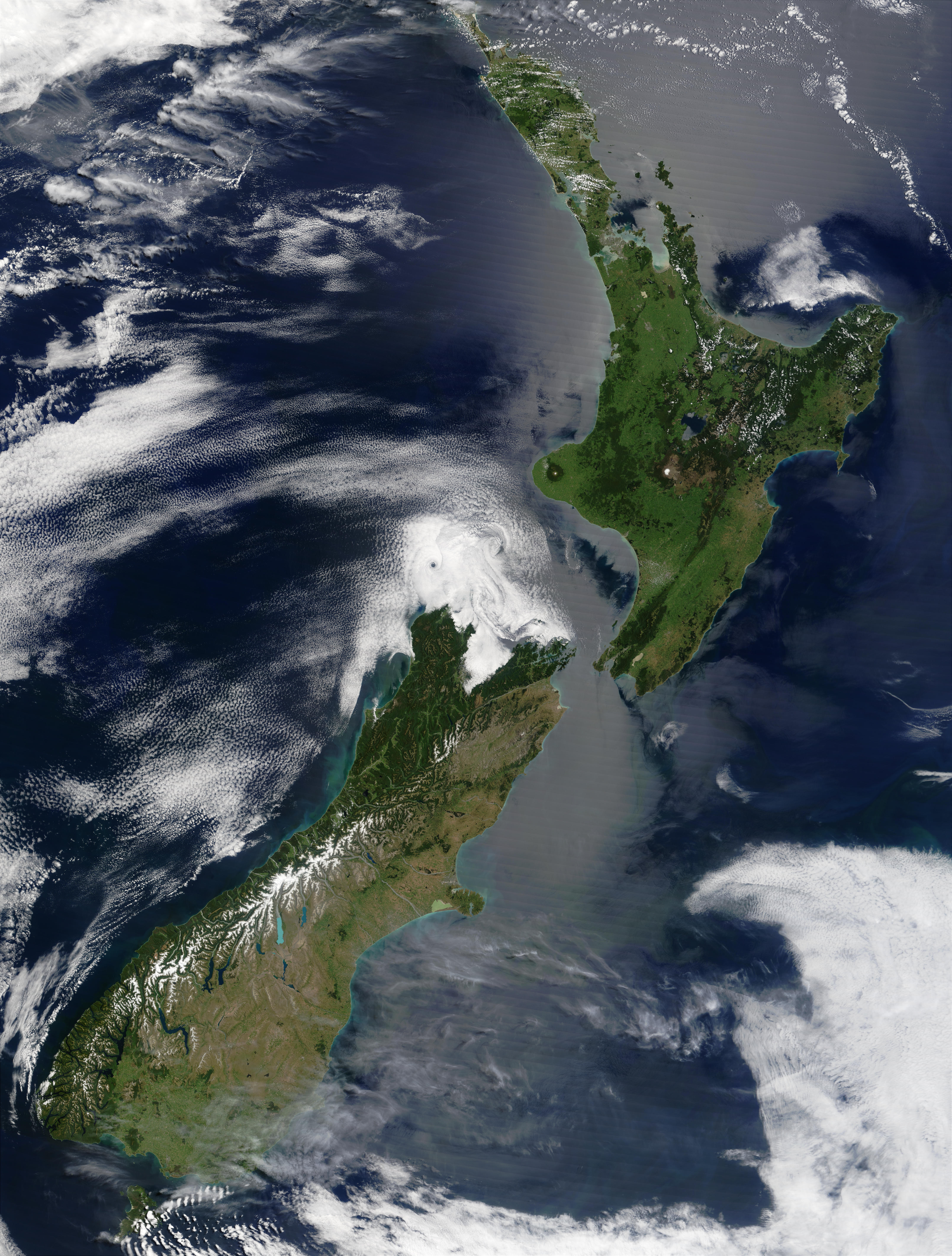
Satellite image of New Zealand in December 2002
Autor:
Jacques Descloitres, MODIS Land Rapid Response Team at NASA GSFC
Credit:
Taken from NASA's Visible Earth: [1]
Krótki link:
źródło:
Wymiary:
4400 x 5800 Pixel (3553912 Bytes)
Opis:
Satellite image of New Zealand in December 2002. NASA's description:
- These stunning true-color images provide a rare, cloud-free look at the island nation of New Zealand, including most of its North and South Islands. This scene was acquired by the Moderate Resolution Imaging Spectroradiometer (MODIS), flying aboard NASA’s Terra satellite, on October 23, and December 31, 2002. New Zealand is situated in the South Pacific Ocean, roughly 2,000 km (1,250 miles) southeast of Australia. Wellington, the capital of New Zealand, is located on the southern tip of the North Island, looking across Cook Strait toward South Island.
Licencja:
Public domain
Więcej informacji o licencji można znaleźć tutaj. Ostatnia aktualizacja: Sun, 11 Sep 2022 01:01:36 GMT