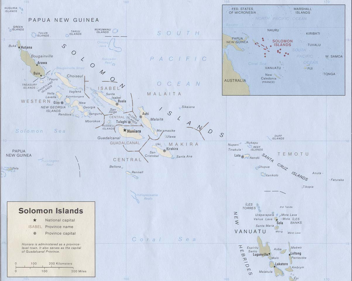
Solomon Islands 1989
Autor:
U.S. Central Intelligence Agency
Credit:
Solomon Islands (Political) 1989 from Perry-Castañeda Library Map Collection: Solomon Islands Maps. Cropped to remove white space from edges of map.
Krótki link:
źródło:
Wymiary:
1203 x 962 Pixel (134121 Bytes)
Opis:
Map of the Solomon Islands as of 1989. Province names are included, except for two new provinces as of 1995: the Rennell and Bellona Province (formerly part of Central Province) and the Choiseul Province (formerly part of Western Province).
Licencja:
Public domain
Więcej informacji o licencji można znaleźć tutaj. Ostatnia aktualizacja: Thu, 03 Feb 2022 05:52:12 GMT