WillametteRvrPano edit
Autor:
Credit:
| To zdjęcie było poddane obróbce cyfrowej i może różnić się od wersji oryginalnej. Zmiany: brightness and other edits. Oryginał można obejrzeć tu: WillametteRvrPano.jpg:
|
Krótki link:
źródło:
Wymiary:
7073 x 1100 Pixel (3006315 Bytes)
Opis:
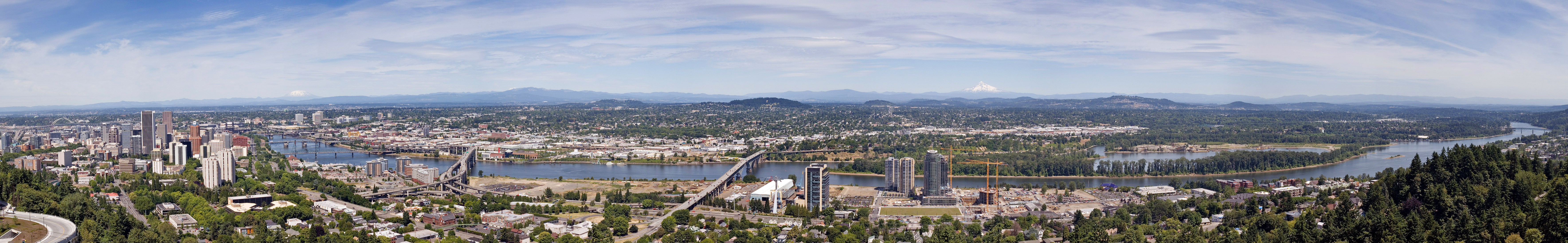
The Willamette River as it passes through downtown Portland, Oregon. This image is a stitch made from 10 photographs. The bridges, from right to left, are the Sellwood, Ross Island, Marquam, Hawthorne, Morrison, Burnside, Steel (the black bridge that is partially obscured), Fremont (the arch bridge at far left). The mountains, from right to left, are Mount Hood, Mount Adams (only the tip is visible) and Mount Saint Helens.
Licencja:
Warunki licencji:
Creative Commons Attribution-Share Alike 3.0
Więcej informacji o licencji można znaleźć tutaj. Ostatnia aktualizacja: Thu, 24 Nov 2022 11:12:53 GMT