Williams-Point
Autor:
Attribution:
Obraz jest oznaczony jako „Wymagane uznanie autorstwa” (attribution required), ale nie podano żadnych informacji o uznaniu autorstwa. Prawdopodobnie parametr atrybucji został pominięty podczas korzystania z szablonu MediaWiki dla licencji CC-BY. Autorzy mogą znaleźć tutaj przykład prawidłowego korzystania z szablonów.
Credit:
Praca własna
Krótki link:
źródło:
Wymiary:
2608 x 1952 Pixel (1904914 Bytes)
Opis:
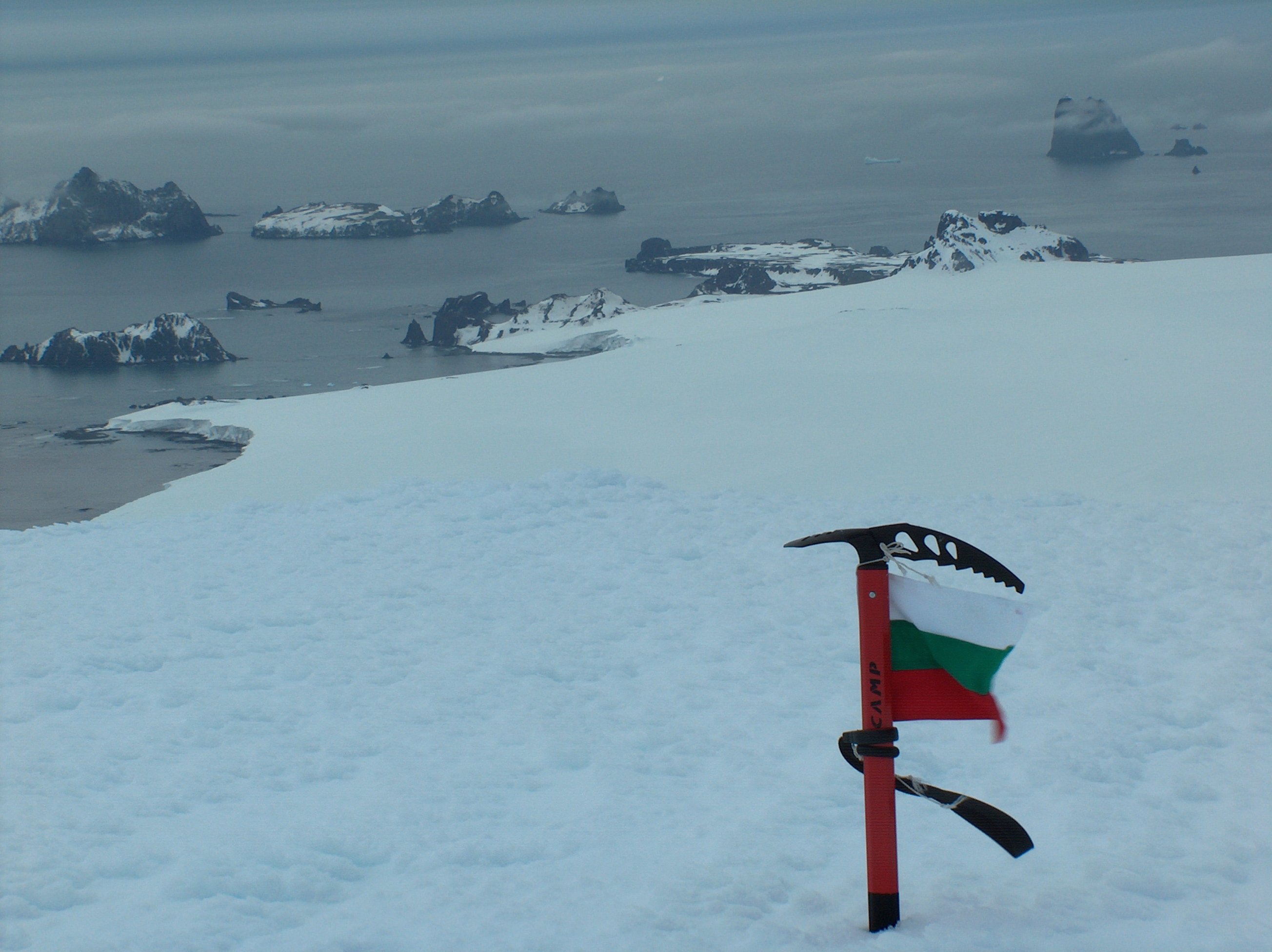
Williams Point, Livingston Island in the South Shetland Islands; the first land ever discovered south of 60˚ south latitude, on February 19, 1819. Left to right Slab Point, Organpipe Point, and Williams Point surmounted by Sayer Nunatak, from Miziya Peak, with Zavala Island in the foreground, Zed Islands in the left background, and Pyramid Island on the right
- Viewpoint location: Miziya Peak in Vidin Heights on Livingston Island, in the South Shetland Islands
- Viewpoint elevation: 604 meters
- Camera: HP PhotoSmart C945 (V01.54)
Licencja:
Warunki licencji:
Creative Commons Attribution-Share Alike 4.0
Więcej informacji o licencji można znaleźć tutaj. Ostatnia aktualizacja: Tue, 25 Oct 2022 00:16:46 GMT