Zarit incident map

Autor:
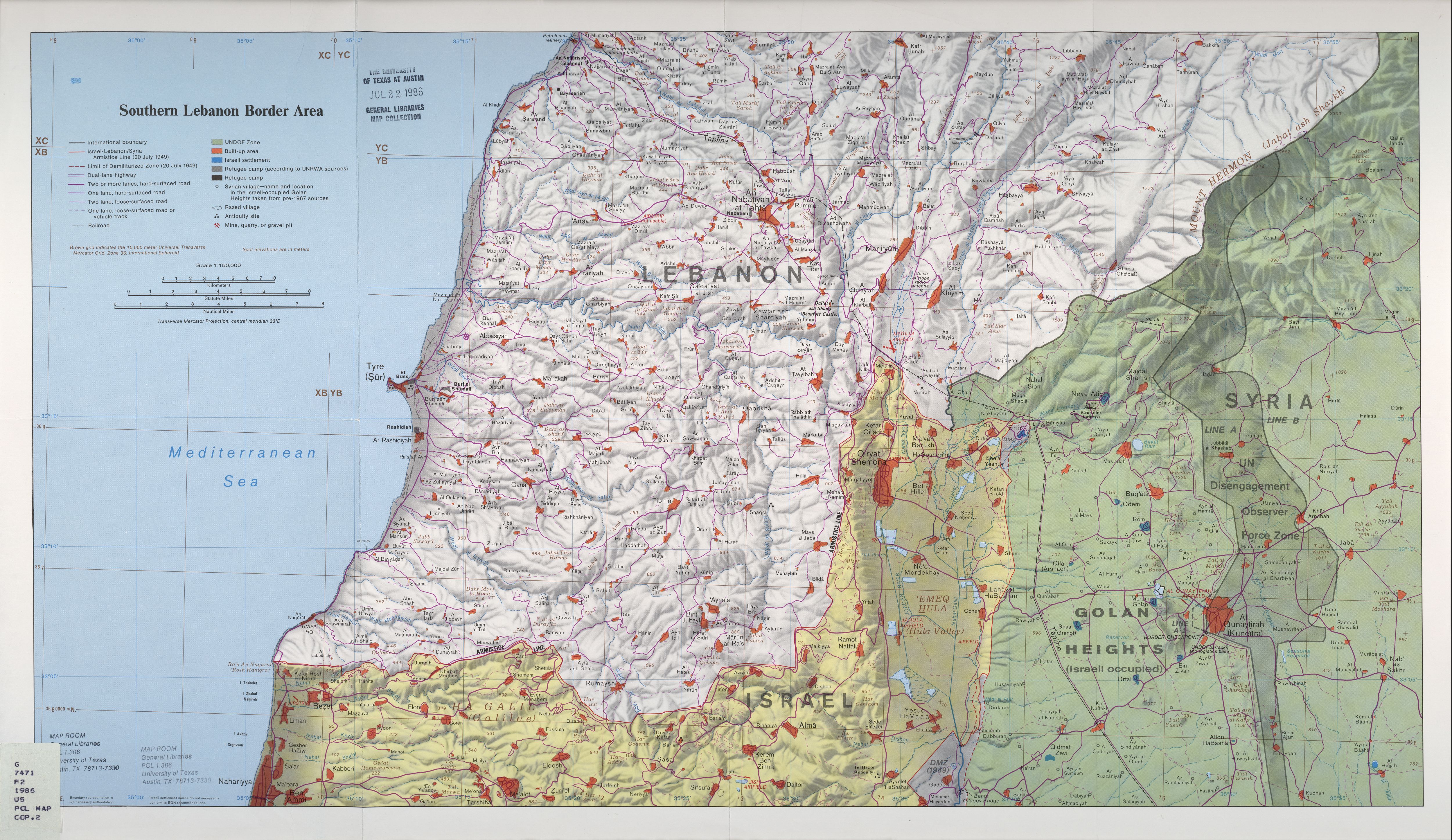
Original map is the work of the Central Intelligence Agency. Modifications by en:User:ChrisO.
Credit:
Krótki link:
źródło:
Wymiary:
519 x 298 Pixel (68421 Bytes)
Opis:
Map of Zar'it and vicinity illustrating the localities involved in the Zar'it-Ayta ash-Shab incident which sparked the 2006 Israel-Lebanon conflict.
Licencja:
Public domain
Więcej informacji o licencji można znaleźć tutaj. Ostatnia aktualizacja: Sun, 18 Dec 2022 14:23:41 GMT