Zealandia topography
Autor:
World Data Center for Geophysics & Marine Geology (Boulder, CO), National Geophysical Data Center, NOAA
Credit:
Ultimate source: ETOPO2v2, a digital database of seafloor and land elevations. Actually cropped from Image:Pacific_elevation.jpg.
Krótki link:
źródło:
Wymiary:
1391 x 1617 Pixel (1407089 Bytes)
Opis:
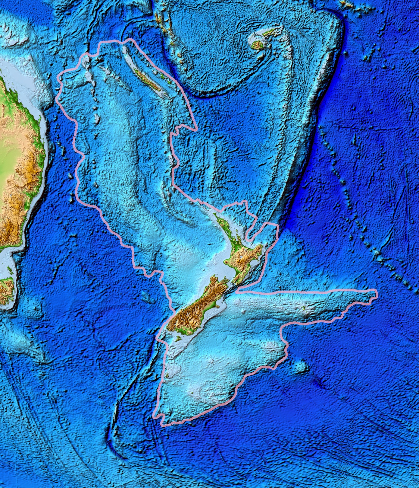
Topographical map of the Zealandia continent.
Licencja:
Public domain
Komentarz do licencji:
NOAA, public domain
Więcej informacji o licencji można znaleźć tutaj. Ostatnia aktualizacja: Tue, 03 Jan 2023 01:15:01 GMT