Lamphun
| ||
| Państwo | ||
| Kod pocztowy | 51000 | |
| Strona internetowa | ||

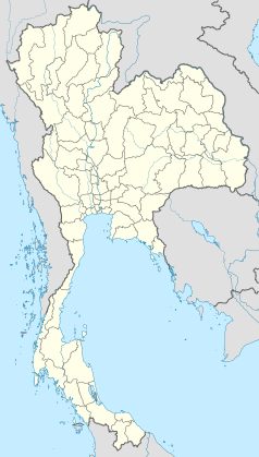
Lamphun (taj. ลำพูน) – miasto w północnej Tajlandii, stolica prowincji o tej samej nazwie. Położone jest 26 km na południe od Chiang Mai.
Historia
W latach 750–1281 miasto było stolicą mońskiego królestwa Hariphunchai[1].
Zabytki
- Wat Phra That Luang Hariphunchai
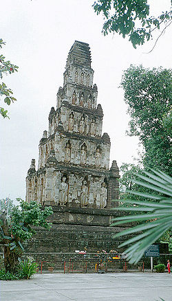
- Wat Chama Thewi
- Muzeum Narodowe Lamphun
Przypisy
- ↑ Tajlandia Przewodniki Wiedzy i Życia, Warszawa 1999.
Media użyte na tej stronie
The national flag of Kingdom of Thailand since September 2017; there are total of 3 colours:
- Red represents the blood spilt to protect Thailand’s independence and often more simply described as representing the nation.
- White represents the religion of Buddhism, the predominant religion of the nation
- Blue represents the monarchy of the nation, which is recognised as the centre of Thai hearts.
Autor: Fotograf / Photographer: Heinrich Damm (User:Hdamm, Hdamm at de.wikipedia.org), Licencja: CC BY 2.0
Square "stepped pyramid" chedi from Dvaravati period (Haripunchai), Wat Chama Thevi, Lamphun, northern Thailand


